Map size in jpg-format: 32.1649MiB
Click to open in high resolution (open in new tab).
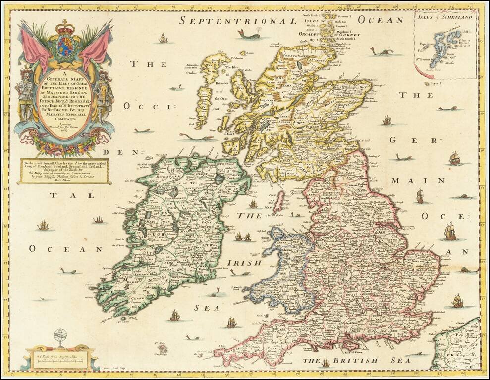
Gorgeous old color example of Richard Blome's map of the British Isles, which appeared in the first world atlas to be printed and engraved in England.
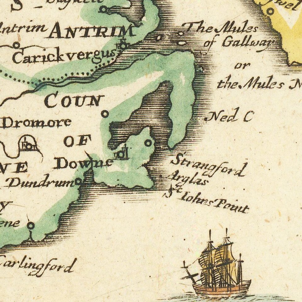
The map demonstrates the naïve engraving style characteristic of 17th Century English engravers, and features an elaborate heraldic cartouche and a dedication to Charles the Second. Includes many sailing ships and sea monsters.
Blome's maps, because of their rarity and importance in the history of English Cartography, are essential items for regional collectors. Blome first began engraving maps for his Geographical Description Of The Four Parts Of The World in 1667. The completed volume was in small folio, and contained 24 maps (plus one duplicated), engraved by Francis Lamb, Thomas Burnford and Wenceslas Hollar. Blome's principal handicap in the production of the atlas was the lack of a domestic mapmaking environment comparable with that in Europe. Also, to finance his work, he undertook subscribers, in exchange for a promise to add their coat of arms to certain maps. In later editions, if the renewal fee was not paid, Blome added a different subscribers coat of arms, leading to multiple images on various editions of the same map.
If you are a student, write to us in telegram: @antiquemaps and indicate what material you need and for what work you need a map in high detail. We are ready to provide material on special terms. For students only!


