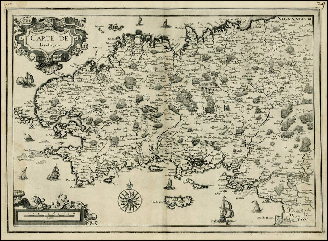
Attractive map of Bretagne, published by Tassin. The map shows sailing vessels in the Ocean and includes title in an ornamental cartouche on the upper left-hand corner.
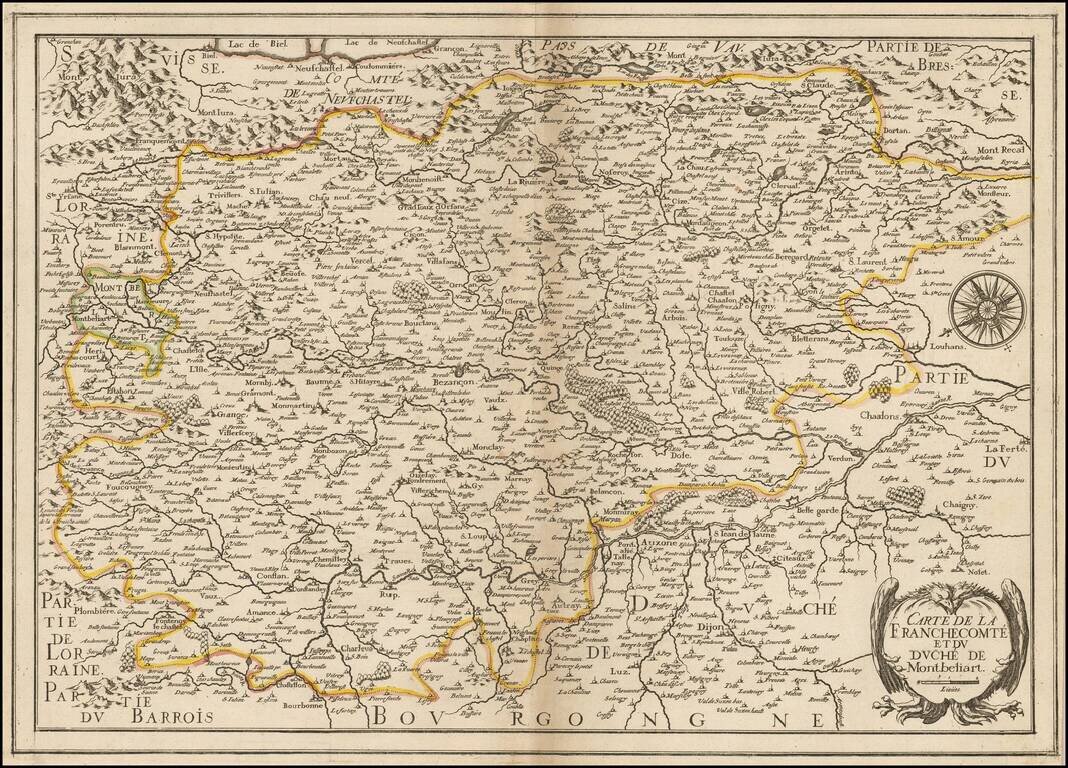
Rare map of Franche Comte and the region to the west of Lake Geneva and the Haute Jura Mountains, oriented with east at the top, published by Christopher Tassin in Paris. The map is centered on Bensancon and shows the Saone River from its source on the...
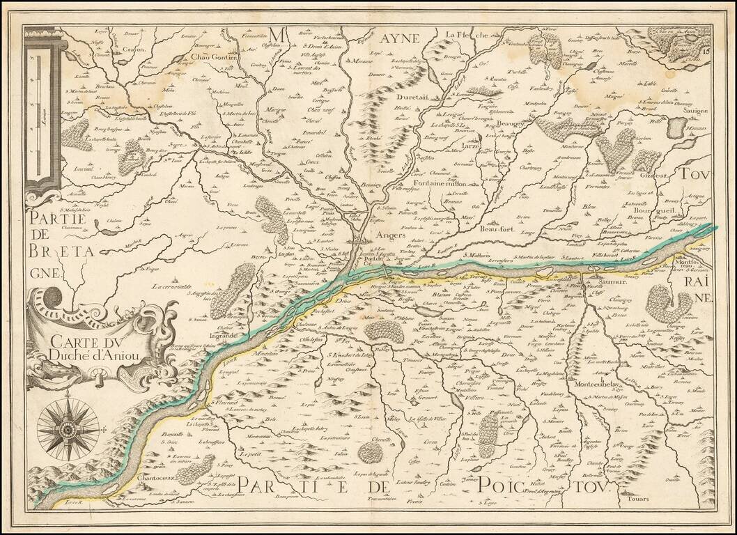
Rare map of the Duchy of Anjou, published in Paris by Tassin. The map is centered on the course of the Loire River.
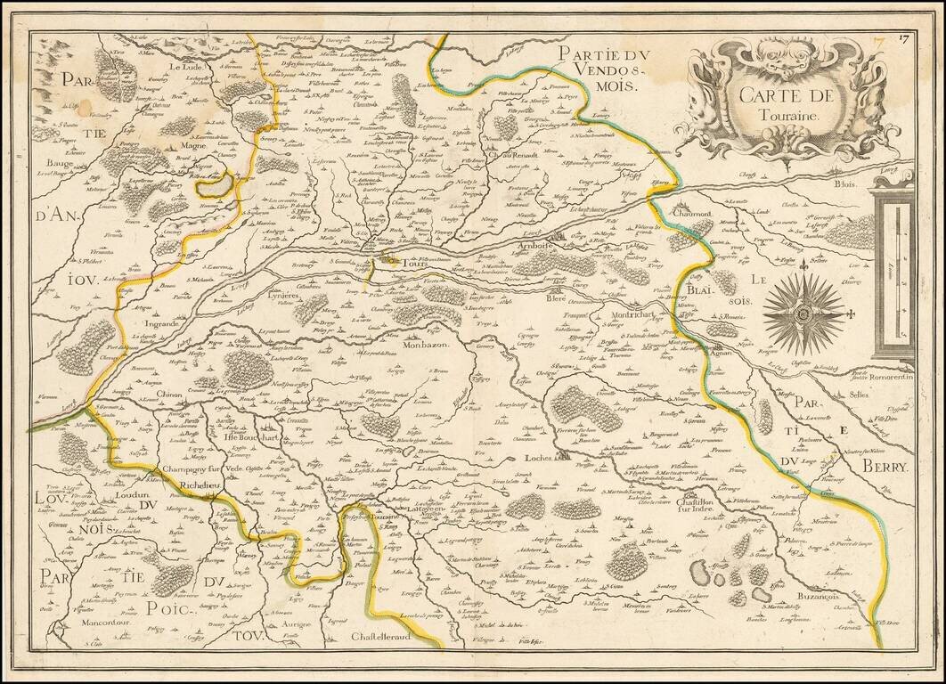
Rare map of the Province of Touraine, published in Paris by Tassin. The map is centered on Tours and the confluence of the Cher River and the Loire River.
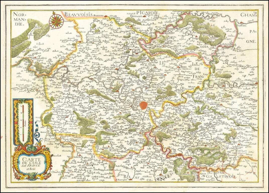
Fine early map of Isle de France and Brie, centered on Paris.
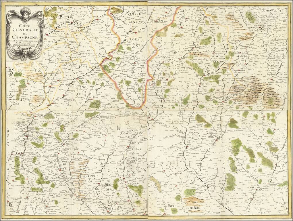
A rare early map of the Champagne region, from Nicolas Tassin's rare large-format atlas of France. The map shows Champagne looking eastwards, showing the many rivers, cities, towns, and hills of this agricultural region of northeastern France. Borders...