Map size in jpg-format: 1.24421MiB
Click to open in high resolution (open in new tab).
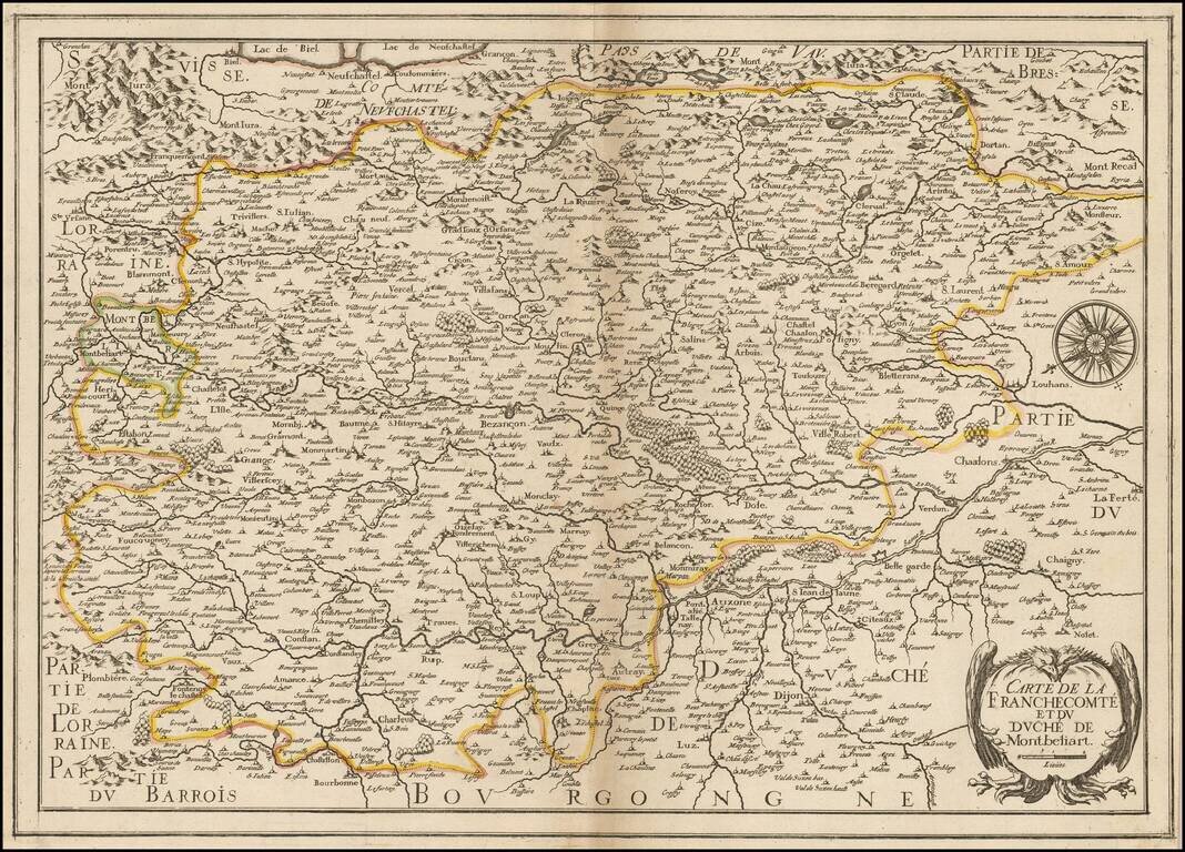
Rare map of Franche Comte and the region to the west of Lake Geneva and the Haute Jura Mountains, oriented with east at the top, published by Christopher Tassin in Paris.
The map is centered on Bensancon and shows the Saone River from its source on the border with Lorraine to Chaalons.
Other larger towns shown include Dijon and Montbeliard,
If you are a student, write to us in telegram: @antiquemaps and indicate what material you need and for what work you need a map in high detail. We are ready to provide material on special terms. For students only!
![Carte d'Etude [Study Map]](/map/small/66795.jpg)
![Orange [Vauban Style Fortress]](/map/small/62043.jpg)
