Map size in jpg-format: 981.153KiB
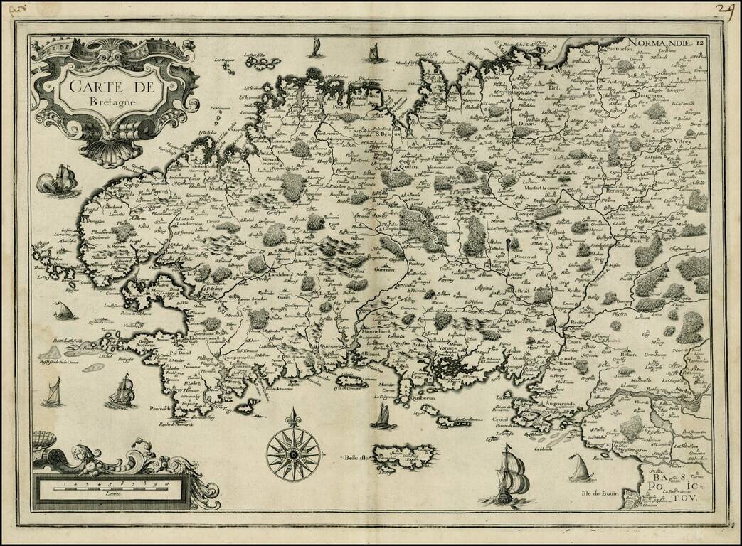
Attractive map of Bretagne, published by Tassin.
The map shows sailing vessels in the Ocean and includes title in an ornamental cartouche on the upper left-hand corner.
If you are a student, write to us in telegram: @antiquemaps and indicate what material you need and for what work you need a map in high detail. We are ready to provide material on special terms. For students only!
![Carte d'Etude [Study Map]](/map/small/66795.jpg)
![Orange [Vauban Style Fortress]](/map/small/62043.jpg)
