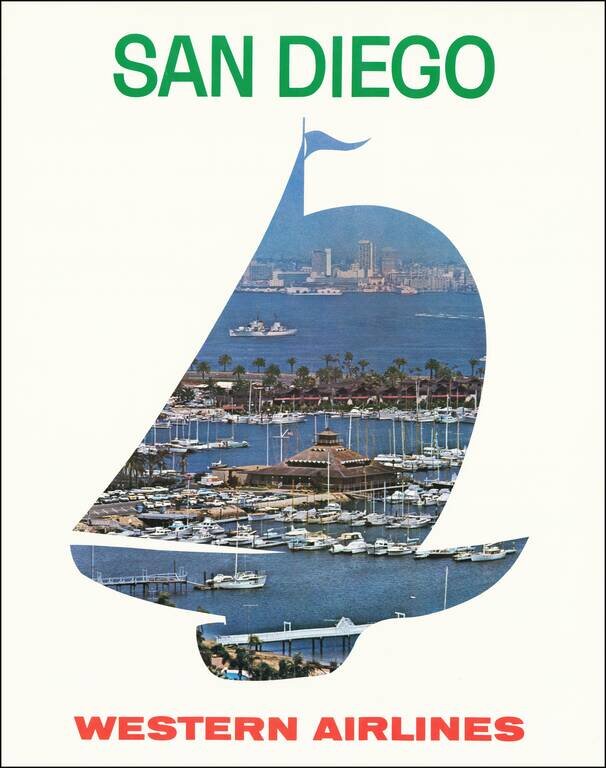
Scarce Western Airlines travel poster for San Diego. We estimated the date based upon the San Diego skyline and the cars in the parking lot of the marina.
![[World Boundary Map]](/map/small/67452.jpg)
A Chinese world map first published in 1965 and with corrections to 1977. The map is centered on the Pacific and shows geopolitical boundaries, while two smaller hemispherical maps naming the continents. An index of countries with their populations and...
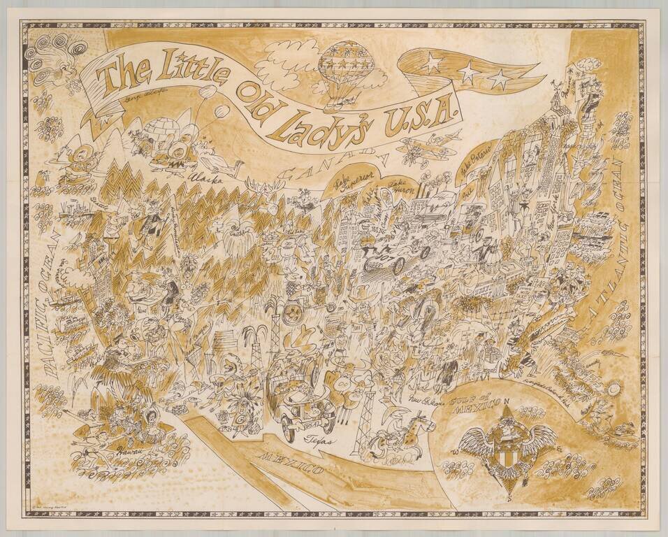
Marvelous whimsical map of the United States. Includes a charming and equally whimsical colored folder. The maps were part of the original publications of the Pisani Press of San Francisco (a division of Pisani Printing Company, then of 485 Brannan...
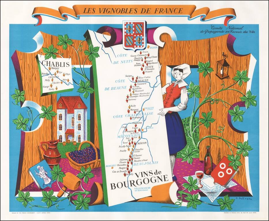
Fine example of this decorative map promoting the Wines of the Burgundy Region of France, published by the Comite National des Vins de France. The center of the map includes a map of the Burgundy Region, from Dijon to Lyon, tracking the Saone River...
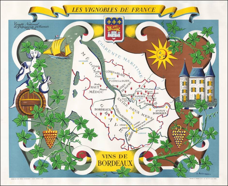
Fine example of this decorative map promoting the Wines of the Bordeaux Region of France, published by the Comite National des Vins de France. The center of the map includes a map of the Bordeaux Region, following the Gironde River from...
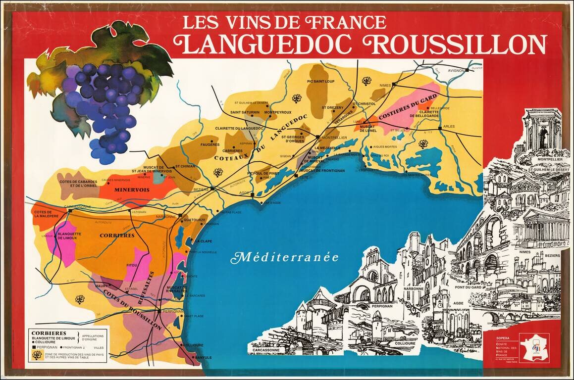
Fine large poster map promoting wine from the Languedoc and Roussillon regions. The poster was issued by Sopexa - International Communication Agency Food, Drink, Lifestyle, for the Comite National Des Vins de France. At the bottom right is an...
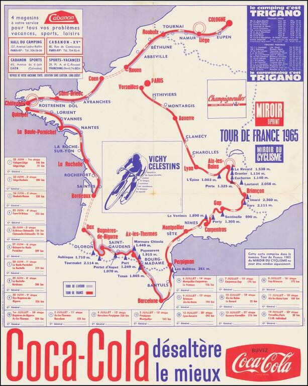
Coca Cola Sponsors The Tour de France A map showing the route of the 1965 Tour de France, sponsored by Coca Cola. The 1965 Tour de France was the 52nd edition of the Tour, June 22 - July 14, 1965, with 22 stages covering a distance of 4,188 km (2,602...
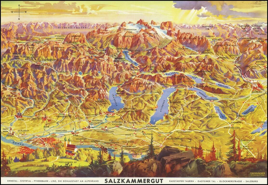
Lively pictorial map of the region including Salzburg, Linz and the Donau (Danube) River, oriented with south at the top. Centered on Traunsee, Attersee, Mondsee, Zellersee, Wofgangsee, Hallstattersee Fuschlsee, Wallersee, etc. The tallest peaks in...
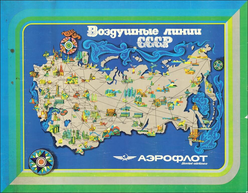
Attractive modernist travel poster issued by Aeroflot, the official national airline of the Soviet Union. The map highlights exclusively domestic routes within the Soviet Union. Interestingly, though not particularly unusual for the time, the routes...
![[Kiev Map with City Transport Lines.] КИЇВ КАРТОСХЕМА З ТРАСАМИ МІСЬКОГО ТРАНСПОРТУ](/map/small/55954.jpg)
Ukrainian-language color-printed folding map illustrating the mass transit lines in Kiev. Published in the city in 1965. The map features an inset of the city center in the upper right and a key in the lower left. An extensive list of points of...