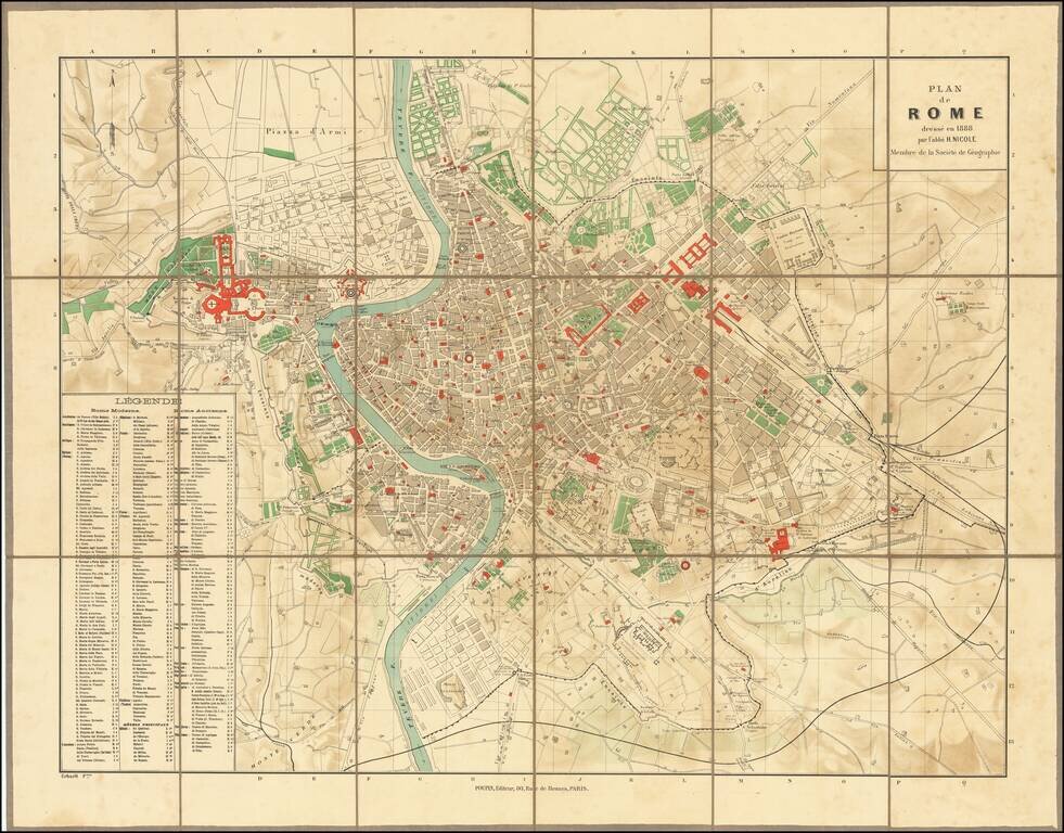
Highly detailed plan of Ancient and Modern Rome, published in Paris. The map is credited to "l'abbe H. Nicole," a member of the French Geographical Society, but we are unable to locate the Abbey. The key locates hundreds of important ancient and...
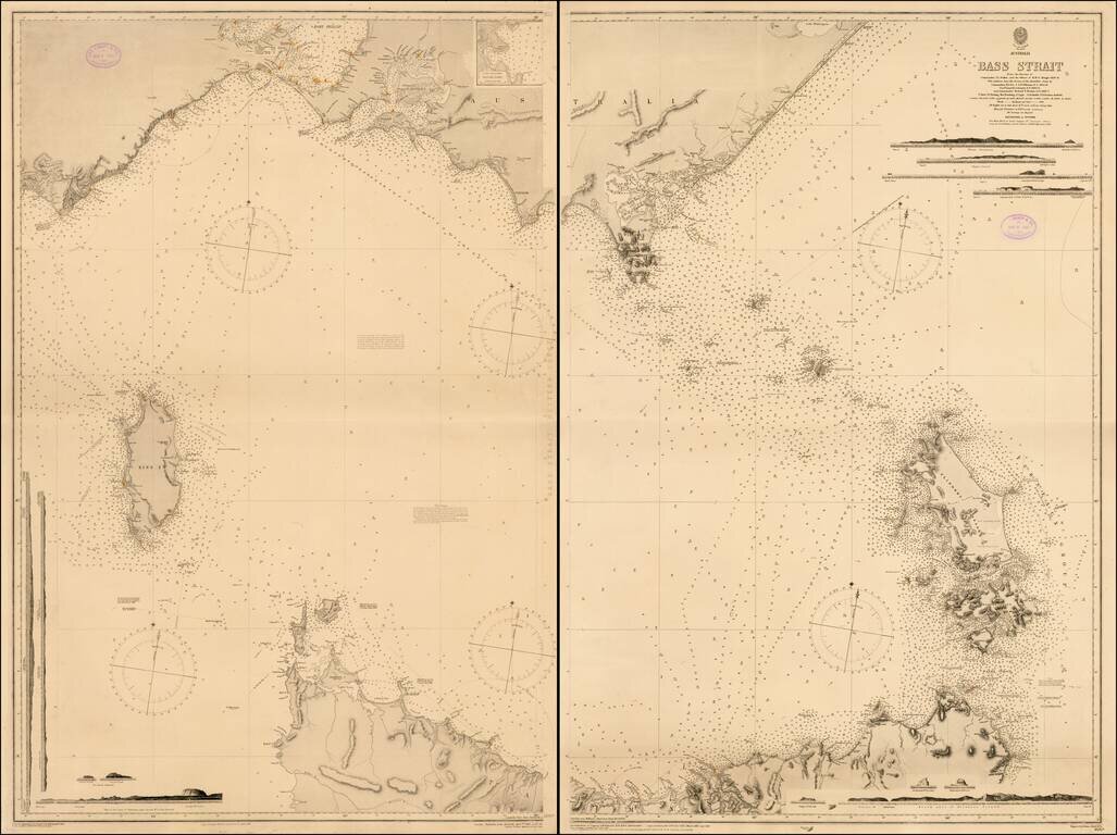
Fine two sheet chart of the Bass Straits published by the British Admiralty. The chart is based on the original surveys of John Lort Stokes and was periodically updated by the Admiralty over the next 40 years. John Lort Stokes (1811-1885) joined the...