![[Singapore & Malaca Strait] Carta Esferica Del Mar de China Comprendido Entre La Isla De Borneo y La Peninsula De Malaca, segun os trabajos mas modernos ingelese y holandeses . . . 1864](/map/small/62184.jpg)
Spanish Sea Chart of the Malacca Strait and Environs -- Singapore Fine Spanish nautical chart, illustrating the Straits of Malacca and northwestern Borneo, published by the Spanish Hydrographical Office in 1864. The map credits the work of modern...
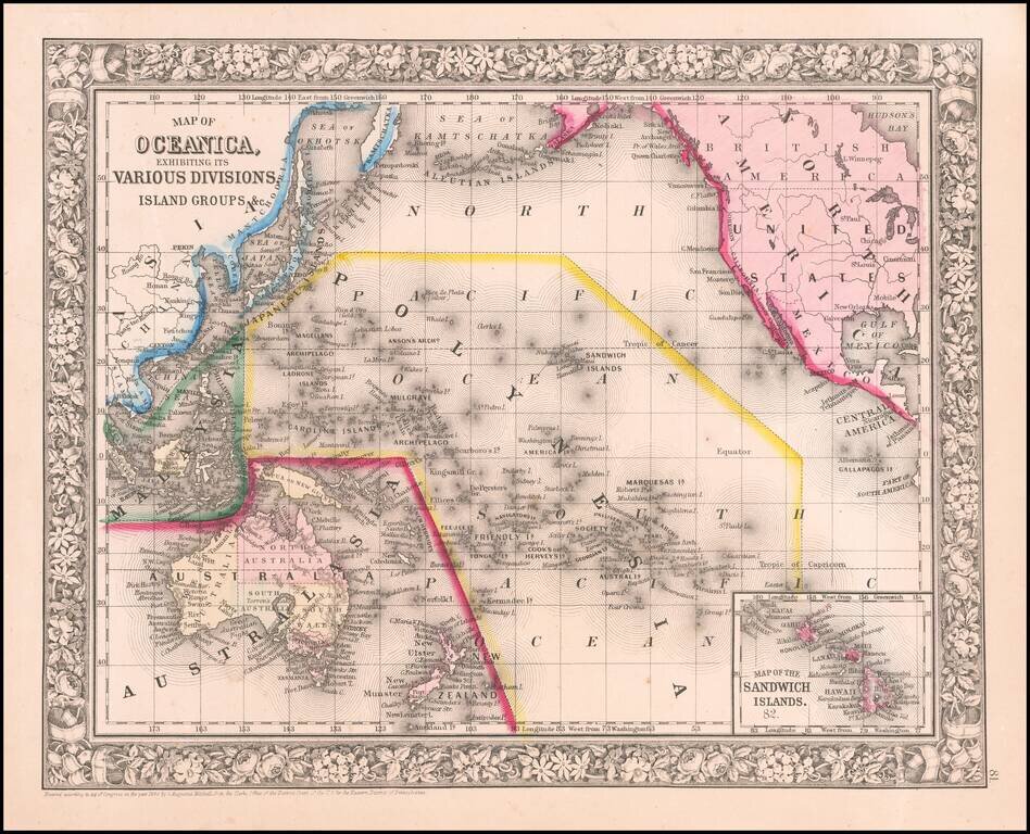
Attractive map of islands showing inset of the Sandwich Islands [Hawaiian Islands]. An excellent Civil War vintage map. Includes a decorative floral border. SA Mitchell Jr. acquired his father's former business from DeSilver in 1860 and relaunched a...
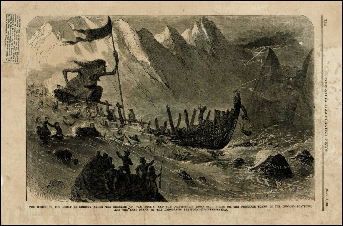
Wood engraved political satire, critiquing the Democratic Party's attitude towards slavery in 1864, the so-called nonintervention policy, which held that the Union should not interfere with slaves, particularly those who found their way to Union Army...