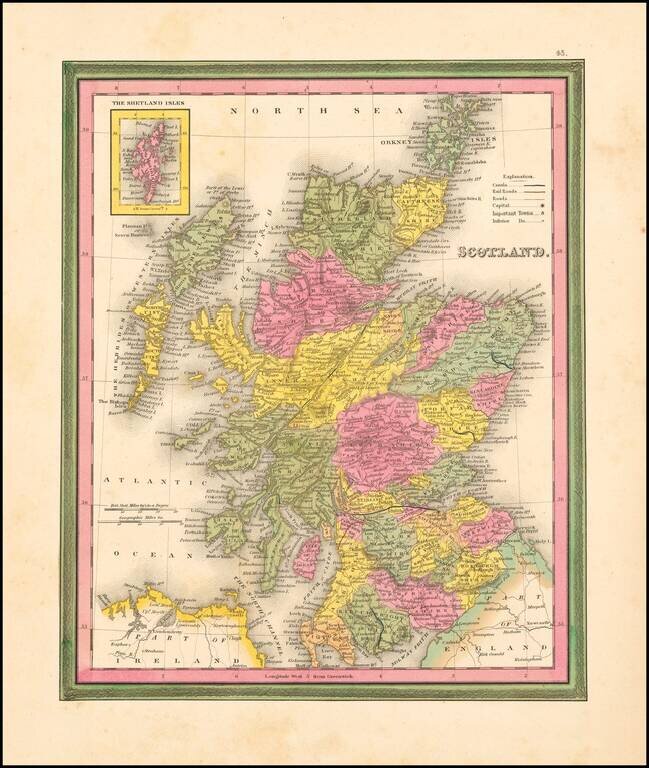
Detailed and interesting map of Scotland, hand colored by county and showing towns, rivers, lakes, railroads, roads, etc. Inset of the Shetland Islands. A decorative interesting map.
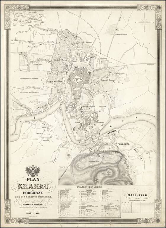
Fine large plan of Krakow, published in 1847 by Alexander Kocziczka, surmounted by the coat of arms of the Holy Roman Emperor. Kocziczka's plan depicts Krakow from Czarna Wies and Nowa Weis to Podgorze and from the Upper Silesian - Krakow Railway to...
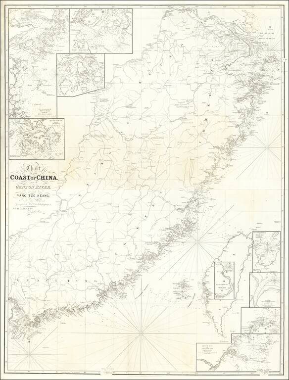
Rare 2 sheet map of Southwestern China, from Shanghai to Hong Kong, Macao and Canton, published in London by William Allen. The map includes a number of smaller insets, including: Hong Kong and its Anchorage River Woo-sung to Shang-Hae Mouth of...
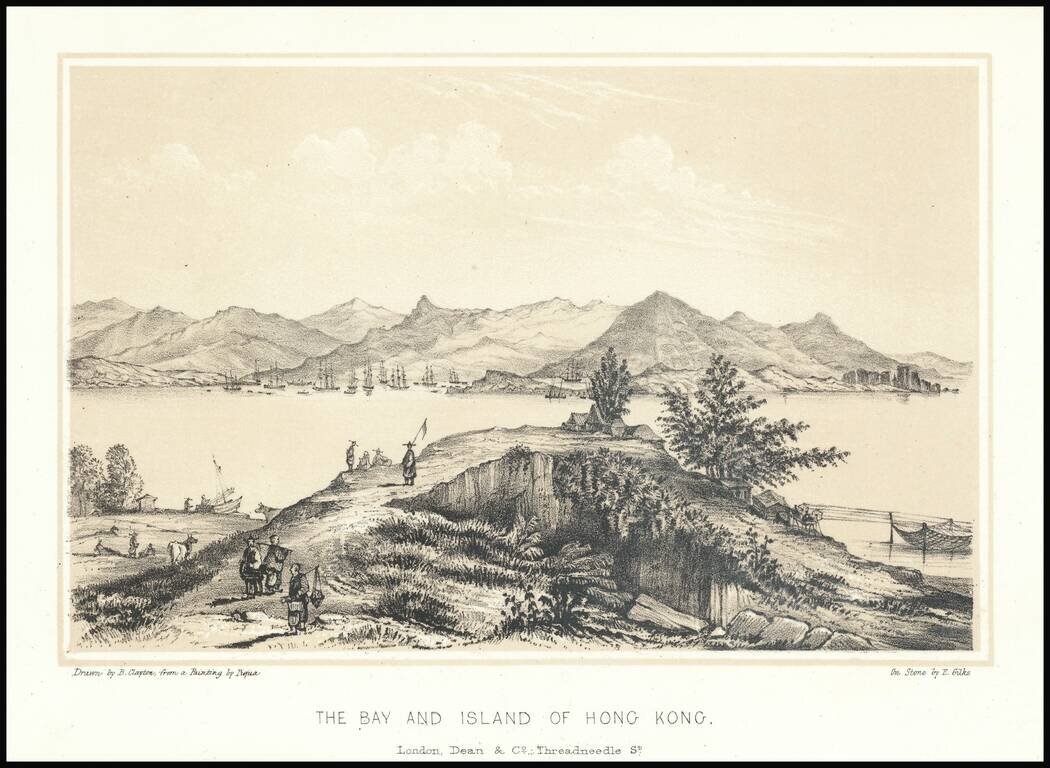
Fine early lithographic view of Hong Kong, "Drawn by B. Clayton from painting by Piqua."