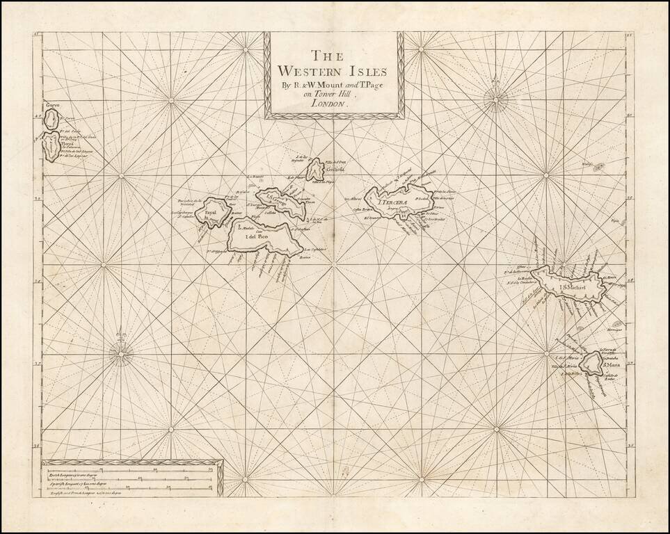
An Early Engish Sea Chart of the Azores Fine early chart of the Azores, which appeared in the English Pilot First Part, Southern Navigation.
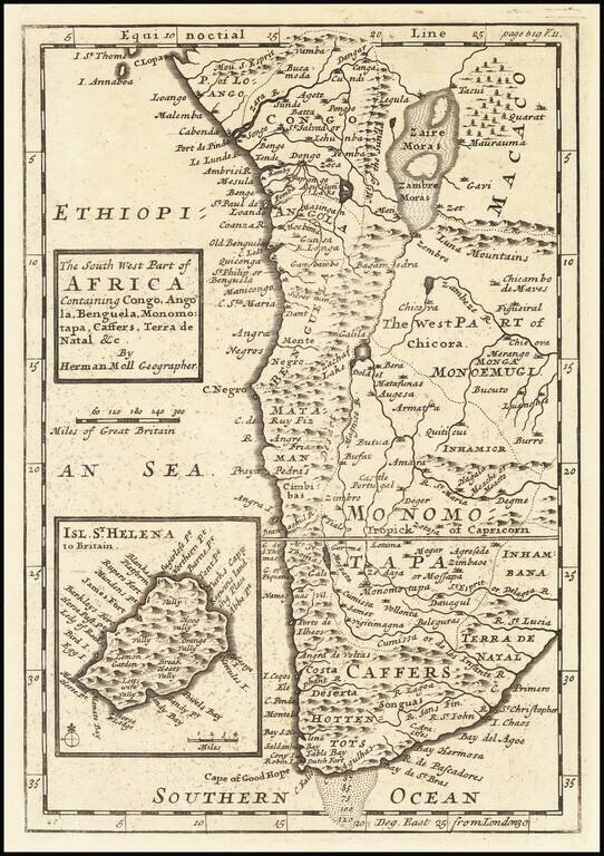
Interesting early 18th Century map of a part of the Southwest Coast of Africa. Includes compass rose.
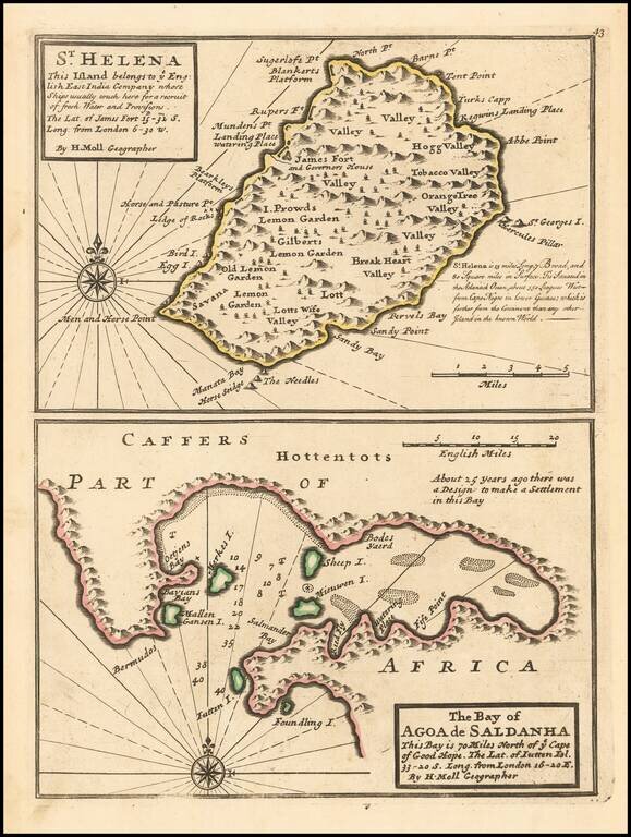
A nice example of Herman Moll's map of the island of St. Helena.
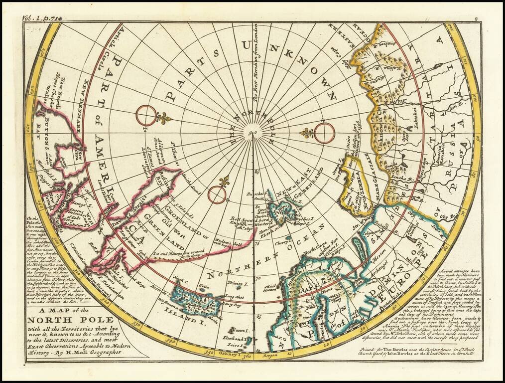
A fine example of Moll's map of the polar regions, known and unknown. The western part of North America is conspicuously absent, as is northeast Asia. A lengthy narrative note along the bottom describes the best contemporary knowledge. The body of...