
Christopher Browne's Map of the Chesapeake & Delaware Bay Regions -- The First Map to Accurately Depict The Boundary Line Which Settled The Penn-Calvert Boundary Dispute, Which Would Become The Mason-Dixon Line Rare second state of Christopher...
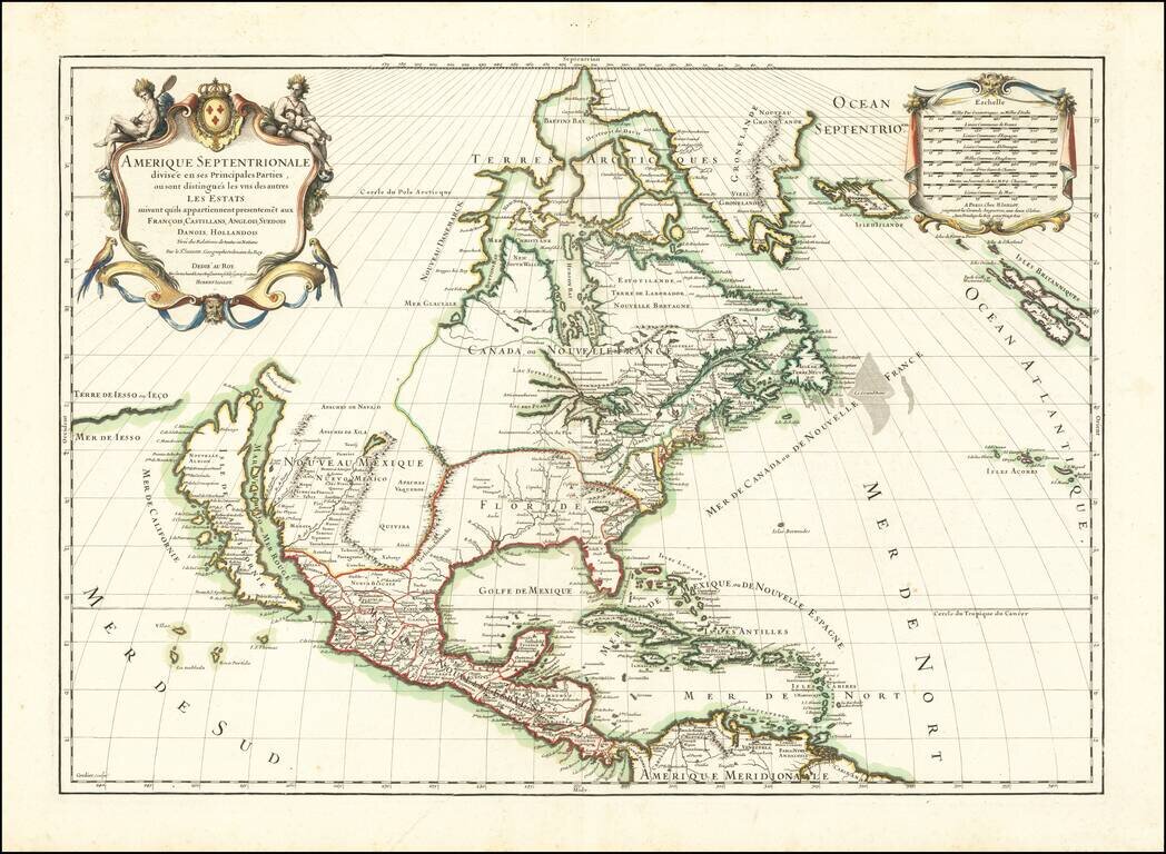
Striking map of North America, published in 1689 by Jaillot. A scarce map of California as an Island, which derives from Sanson's earlier maps of North America. The Great Lakes are shown as open ended. Florida and the Southeast have not yet been...
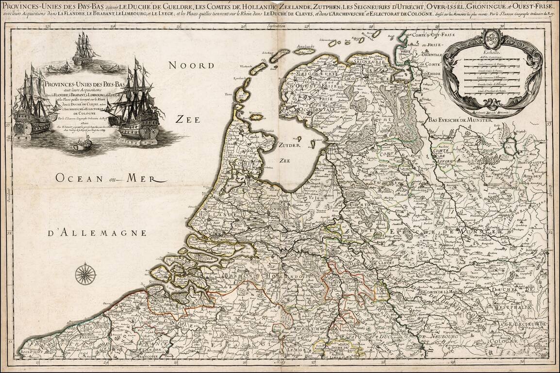
Rare variant edition of Jaillot's map of the Low Countries. The present example, dated 1689, includes an elaborate ships motif for the title cartouche. We were not able to locate another example of this map illustrated on the internet or elsewhere.
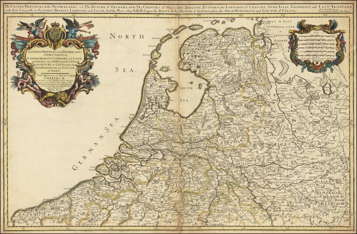
Nice example of William Berry's map of Low Countries, published in London. The map is drawn from Adrien Hubert Jaillot's map of 1674, which has been "corrected and amended" by Berry.
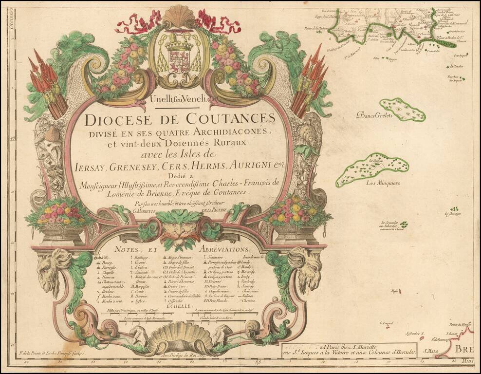
Title sheet of a rare 4 sheet map of the Diocese of Coutances, published in Paris. This is the lower left sheet of this rare 4-sheet wall map, showing mainly a title cartouche with the islands of Minquiers and Banes Grélets to the right. In top right...
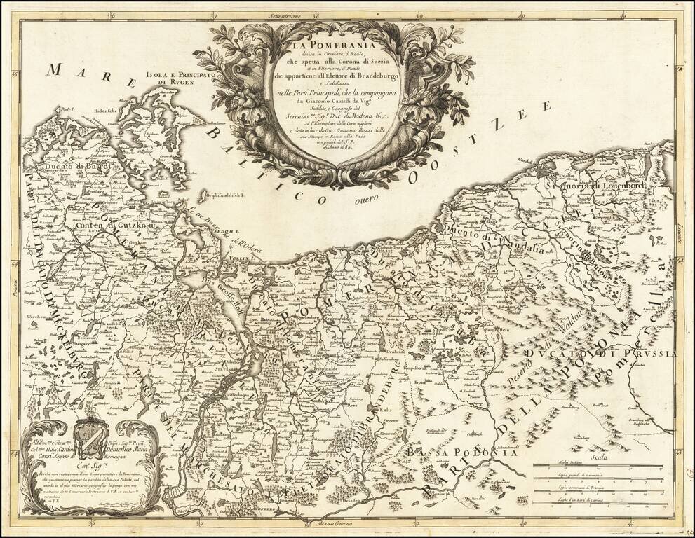
"Why would you not live without your joyous protector, O Pomerania, region that justly mourns the loss of its Palatine?" A scarce map of Pomerania, stretching along the coast from present-day eastern Germany to the outskirts of Gdansk in modern...

The Cantelli-Rossi map of Croatia, Bosnia-Herzegovina and Montenegro Highly detailed map of the Adriatic Coastline, from Montenegro in the south to the coast of central Croatia (Zadar, etc.), and covering a large part of Bosnia-Herzegovina. Shows...
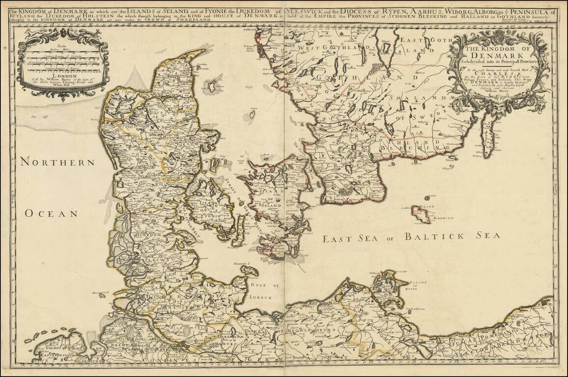
Nice example of William Berry's map of the Kingdom of Denmark, published in London. The map is drawn from Adrien Hubert Jaillot's map of 1674, which has been "corrected and amended" by Berry.