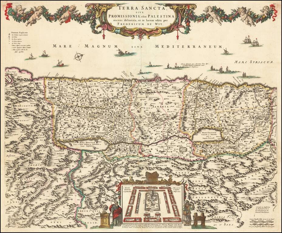
Old color example of De Wit's map of the Holy Land, oriented to the West, and divided among the Tribes of Israel on both sides of the Jordan. The shore line runs from Sidon to Egypt. The Kishon River connects Haifa Bay to the Lake of Tiberias. Along...
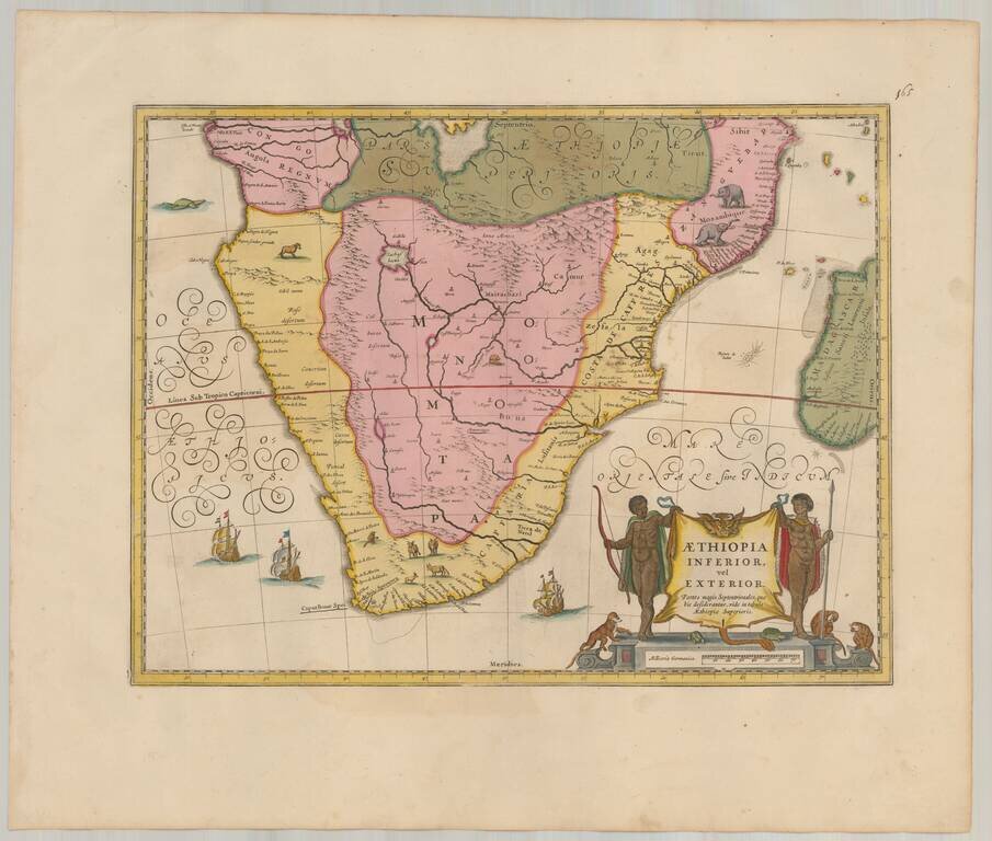
Attractive map of Southern Africa, shortly before the first Dutch settlement in the region. The area shown is from the Congo River basin around the Cape of Good Hope and up the east coast as far as northern present-day Mozambique. Many coastal names...