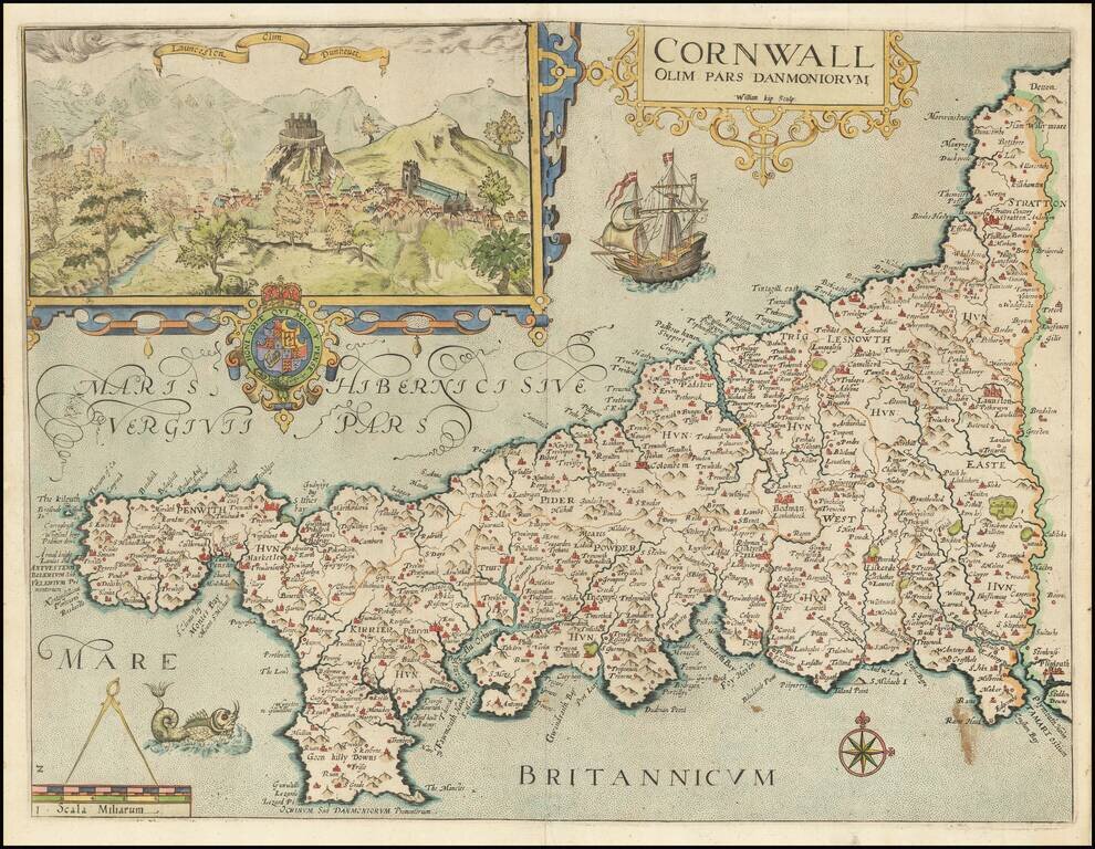
Attractive full color example of Christopher Saxton's map of Cornwall, from the 1637 edition of Camden's Britannia. Decorated with a strapwork title cartouche and an inset of Launceston, the Royal Arms, galleon, sea-monster, a pair of compasses on the...
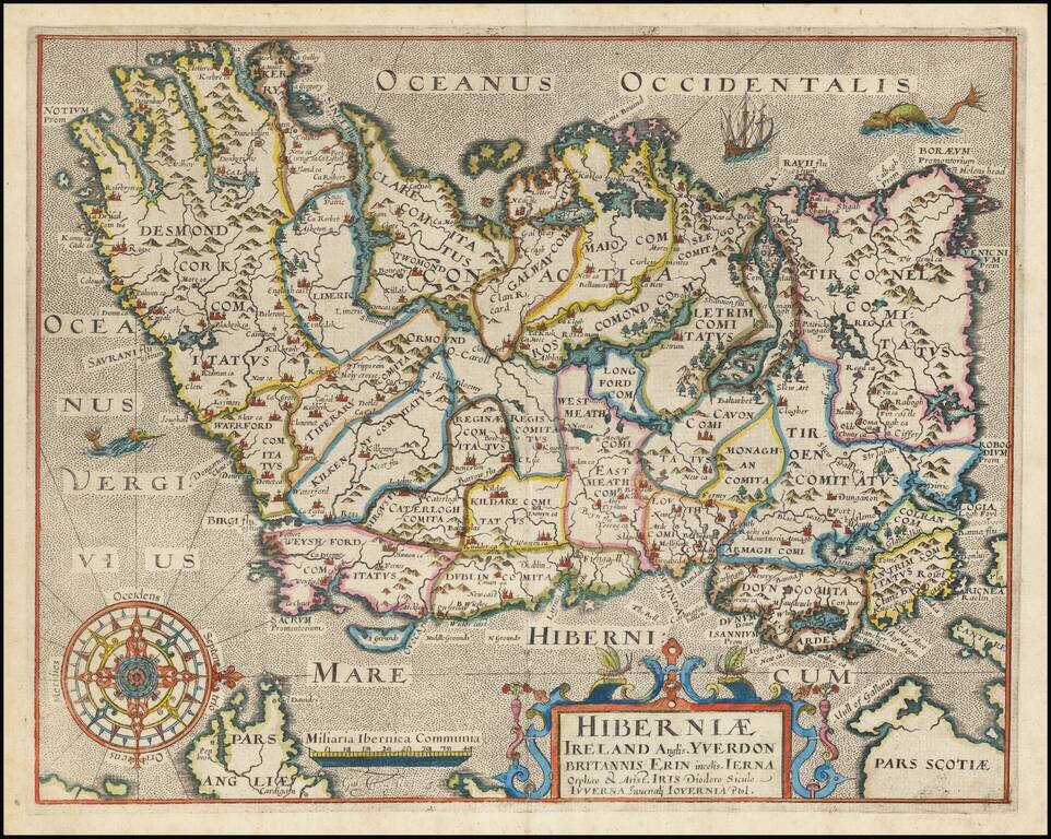
One of the earliest obtainable maps of Ireland, published in London. Oriented with West at the top.
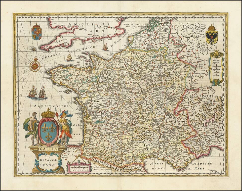
Rare edition of Blaeu's 1607 map of France, modified by Blaeu for publication in his 1631 Atlas Appendix, prior to completion of his updated map of France which appeared thereafter. The map was first published with border figures in 1607. When Blaeu...