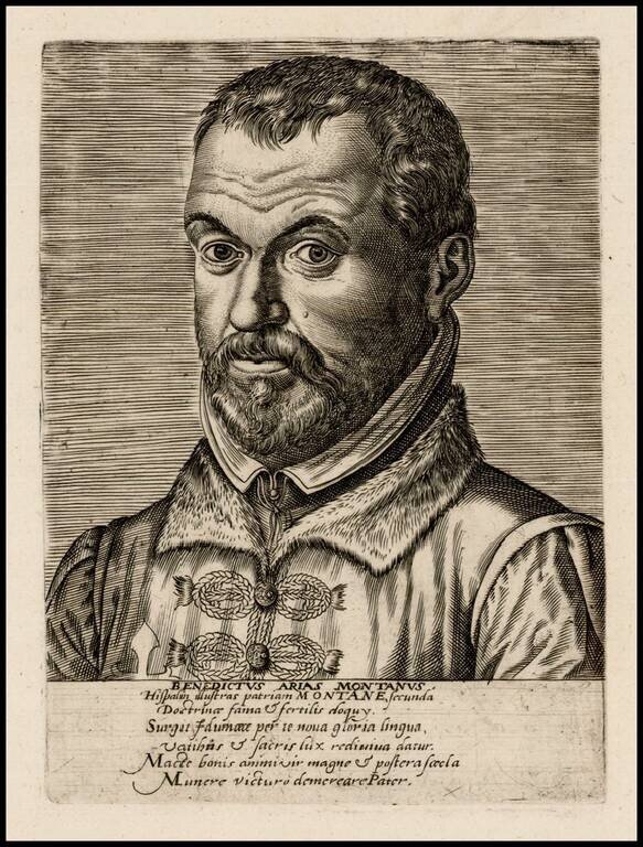
Rare contemporary portrait of Benedictus Arias Montanus, Philippe Galle.
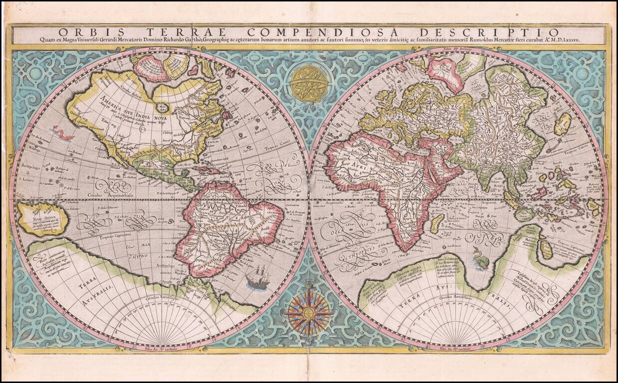
The Only Obtainable Mercator World Map Attractive example of Rumold Mercator’s map of the world, first printed in Geneva in 1587. It is based on Gerard Mercator’s celebrated 1569 world map and was made while Gerard was still alive (1512- 1594)....
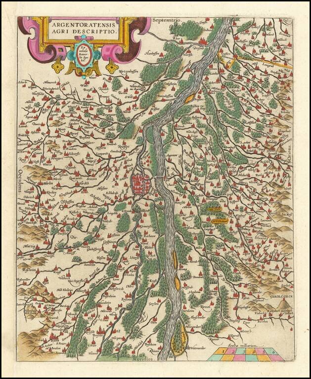
Fine old color example of this map of the Rhine, both south and north of Strasbourg, based on Daniel Specklin's three-sheet map of the Elzas of 1576. From edition of Ortelius' Theatrum Orbis Terrarum, the first modern atlas of the World.
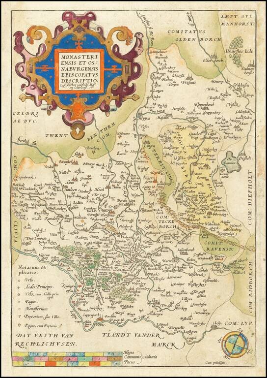
Decorative example of Ortelius' map showing the region north of the Lippe River, centered on Munster. A nice old color example.
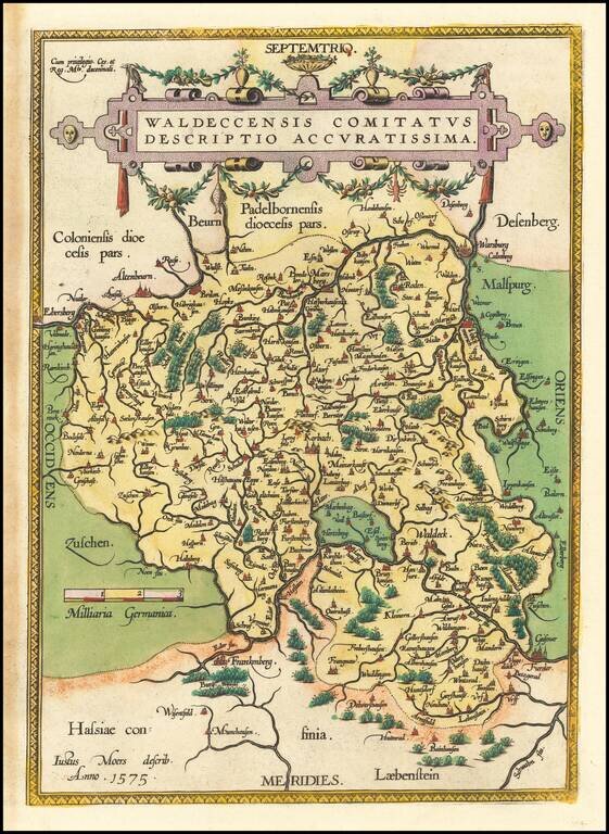
Nice example of Ortelius' regional map of the Waldeck region, with decorative cartouche, compass rose, etc. From Ortelius' Theatrum Orbis Terrarum, the first modern atlas of the World.
![Rhetiae alpestris descriptio in qua hodie Tirolis Comitatus [with] Goritiae, Karstii, Chaczeolae, Carniolae, Histriae, et Windorum Marchae Descrip.](/map/small/22133.jpg)
A nice full color example of these two regional maps by Ortelius. The Tirolian map extends from Mantua, Verona and Vincenza to Furstenfeld, Mildorf and Wasserburg and is centered on Innsburck. Salzburg also appears. The second map extends from the...
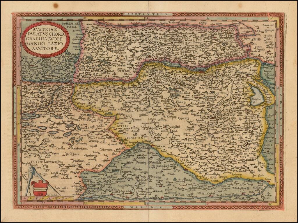
Decorative regional map of Austria and Hungary, following the Danube from Lintz to Bratislava and extending north to the Teya and south to the Dranus. A nice full color example with wide margins. From the 1587 French edition of Ortelius' Theatrum...
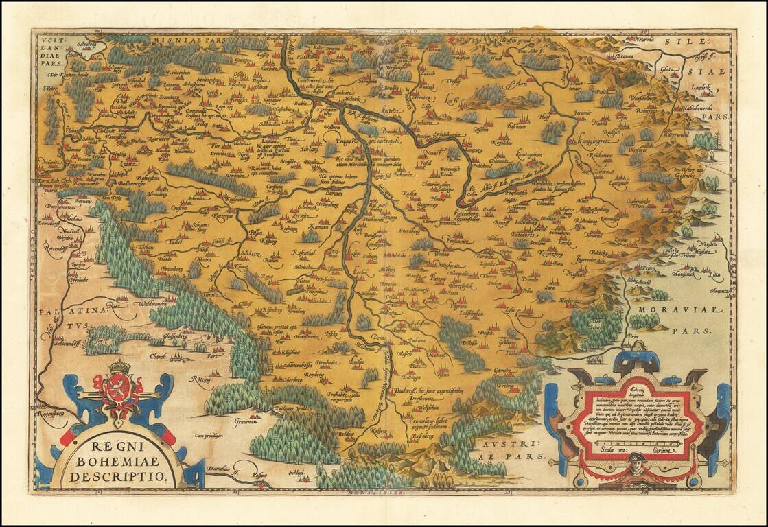
Fine old color example of Ortelius' decorative map of Bohemia, centered on Prague, based upon regional maps by Johann Criginger (1521-1571). The map shows remarkable detail, including towns, rivers, woods and other features. Two gorgeous cartouches...