logo

1587. Regni Bohemiae Descriptio

  • Regni Bohemiae Descriptio

Regni Bohemiae Descriptio information:

Year of creation: 
Resolution size (pixels): 
 13145x9022 px
Disk Size: 
 37.7394MiB
Number of pages: 
 1
Place: 
 Antwerp
Author: 

Print information. Print size (Width x height in inches):
Printing at 72 dpi 
  182.57 х 125.31
Printing at 150 dpi 
 87.63 х 60.15
Printing at 300 dpi 
 43.82 х 30.07

An example of detailing the file of this map of in a printable high-resolution:

Click to open in high resolution (open in new tab).
Attention! this is just the central piece (central area 960x960 px) of the map file!
This is an example, so that you can see and study the level of detail of a given map. The entire Map will be fully available after payment!

Regni Bohemiae Descriptio

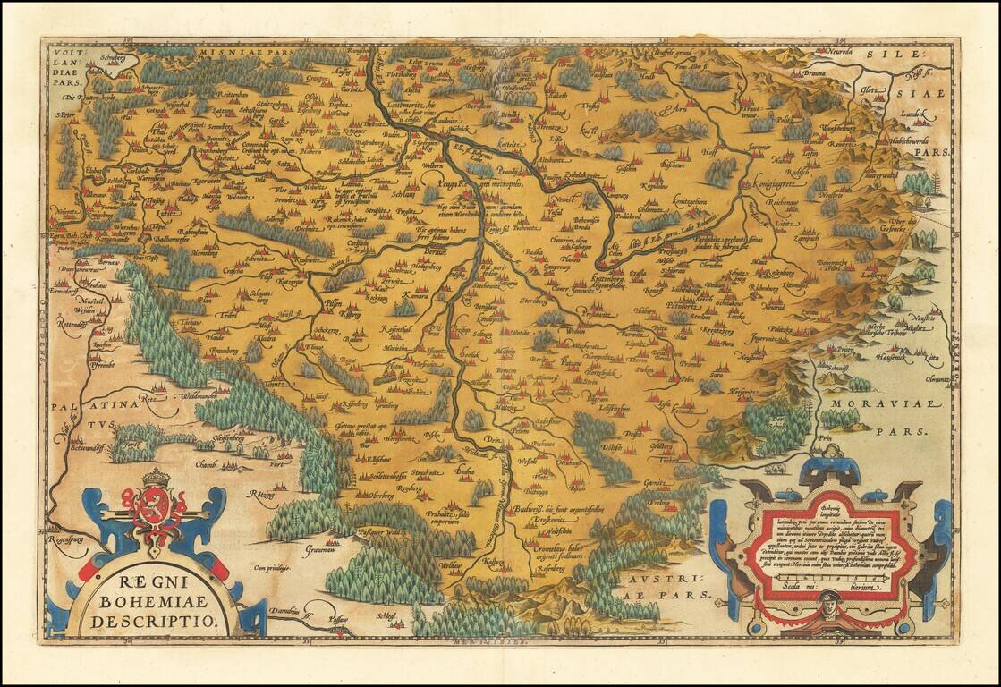
Fine old color example of Ortelius' decorative map of Bohemia, centered on Prague, based upon regional maps by Johann Criginger (1521-1571).

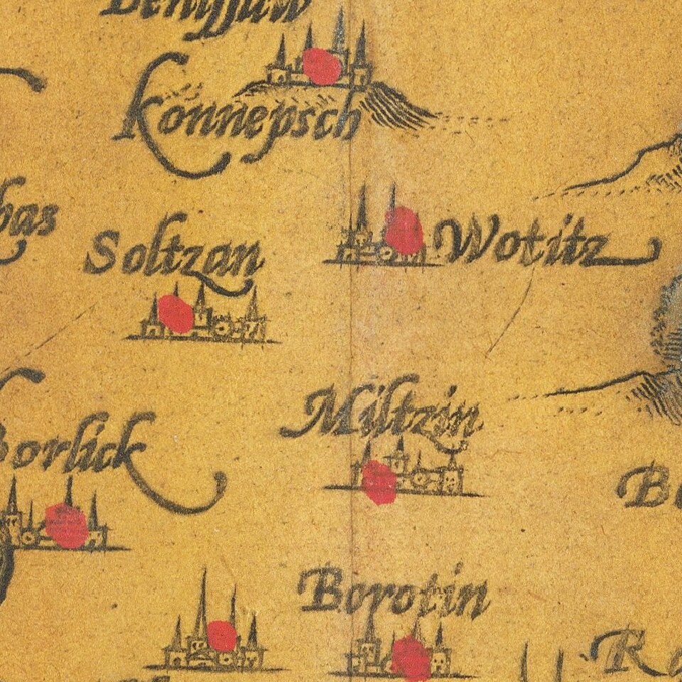
The map shows remarkable detail, including towns, rivers, woods and other features. Two gorgeous cartouches and a coat of arms. The map is from Ortelius' Theatrum Orbis Terrarum, the first modern atlas of the World.

Van den Brocke 101.

Special conditions for students!

If you are a student, write to us in telegram: @antiquemaps and indicate what material you need and for what work you need a map in high detail. We are ready to provide material on special terms. For students only!

Item information:

Year of creation:
Size:
13145x9022 px
Disk:
37.7394MiB
Number of pages:
1
Place:
Antwerp
Author:
Abraham Ortelius.
$14.99

Related item