Map size in jpg-format: 9.08634MiB
Click to open in high resolution (open in new tab).
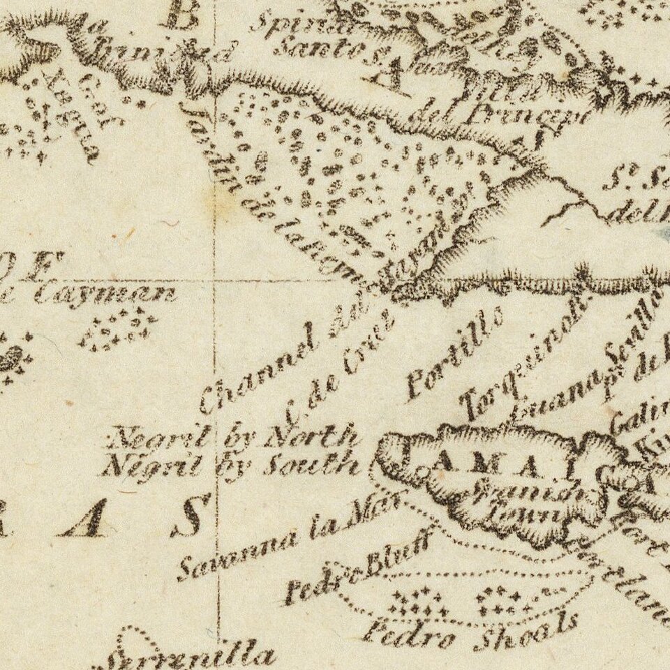
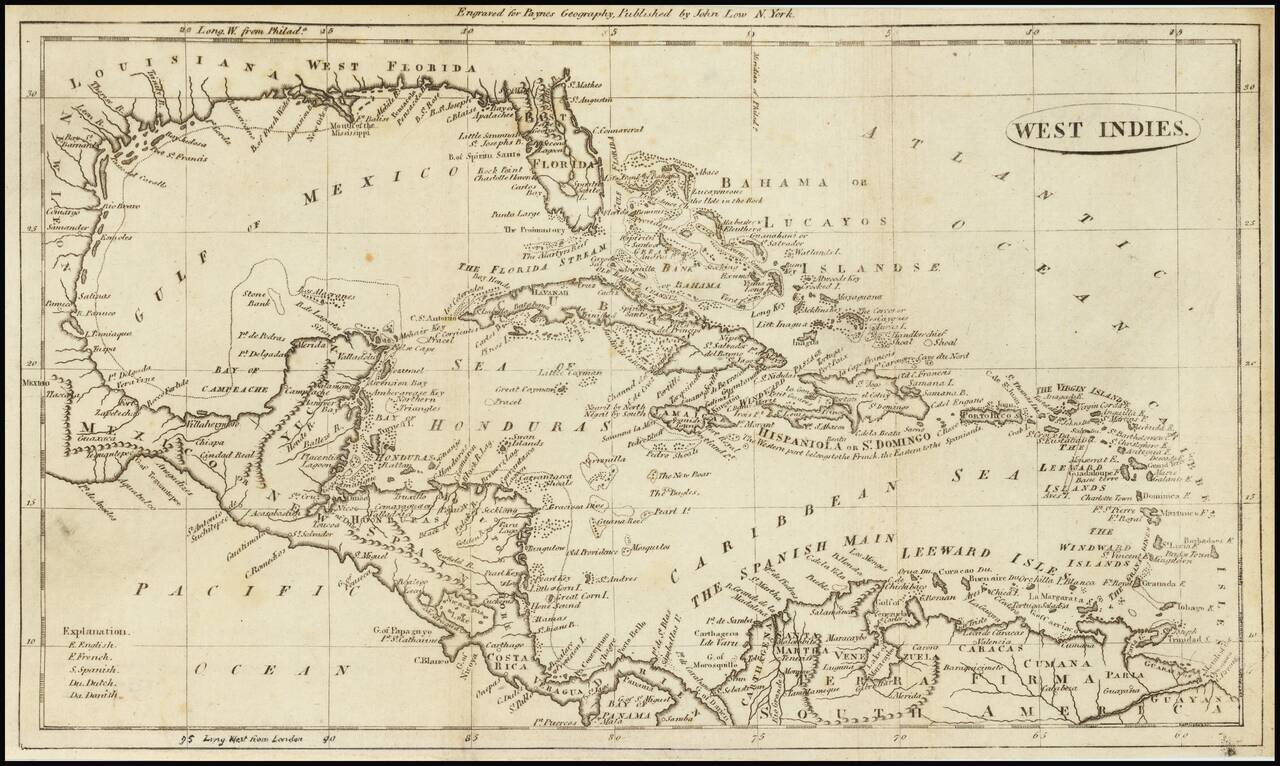
Highly detailed map of the Gulf Coast and the Caribbean, published in 1799 in Payne's Geography.
Includes an interesting treatment of Florida and detail among the islands, and locating well over 100 place names.
Shows East and West Florida, the Bahama or Lucayos Islands and a still inaccurate Florida and Gulf Coastline.
If you are a student, write to us in telegram: @antiquemaps and indicate what material you need and for what work you need a map in high detail. We are ready to provide material on special terms. For students only!


![[Wall Map] West-Indische Paskaert waer in de graden der breedde over weder zyden vande middelyn wassende so vergrooten dat die geproportioneert syn tegen hunne nevenstaende graden de lengde.](/map/small/60169.jpg)