logo

1914. Weber's Map of Sierra County California . . 1914

  • Weber's Map of Sierra County California  . . 1914

Weber's Map of Sierra County California . . 1914 information:

Year of creation: 
Resolution size (pixels): 
 5474x4026 px
Disk Size: 
 4.92573MiB
Number of pages: 
 1
Place: 
 Los Angeles
Author: 

Print information. Print size (Width x height in inches):
Printing at 72 dpi 
  76.03 х 55.92
Printing at 150 dpi 
 36.49 х 26.84
Printing at 300 dpi 
 18.25 х 13.42

An example of detailing the file of this map of in a printable high-resolution:

Click to open in high resolution (open in new tab).
Attention! this is just the central piece (central area 960x960 px) of the map file!
This is an example, so that you can see and study the level of detail of a given map. The entire Map will be fully available after payment!

Weber's Map of Sierra County California  . . 1914

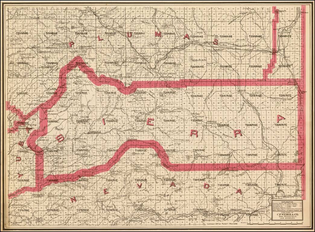
Highly detailed pocket map of Calaveras County, published by C.F. Weber.

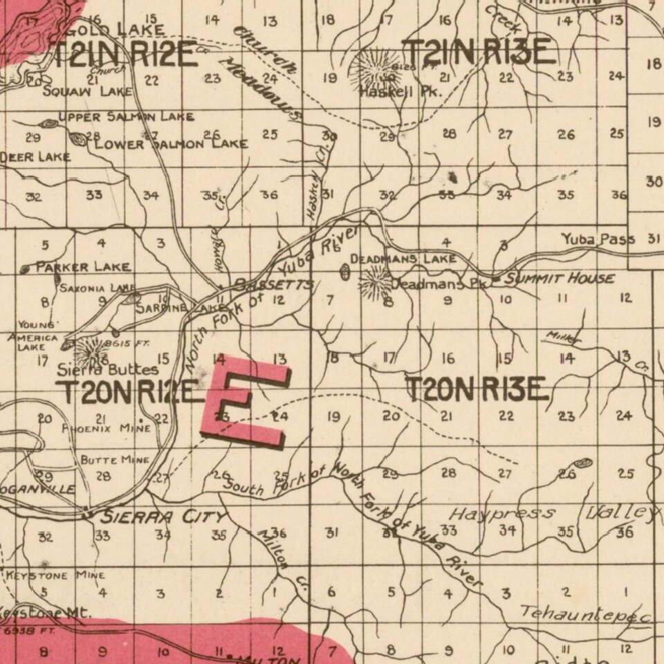
The map shows early railroads, roads, wagon roads, mines, lakes, mills, and many other details.

Calaveras County was one of the original counties of the state of California, created in 1850 at the time of admission to the Union. Parts of the county's territory were reassigned to Amador County in 1854 and to Alpine County in 1864.


Special conditions for students!

If you are a student, write to us in telegram: @antiquemaps and indicate what material you need and for what work you need a map in high detail. We are ready to provide material on special terms. For students only!

Item information:

Year of creation:
Size:
5474x4026 px
Disk:
4.92573MiB
Number of pages:
1
Place:
Los Angeles
Author:
Punnett Brothers.
$14.99

Related item