Map size in jpg-format: 5.88706MiB
Click to open in high resolution (open in new tab).
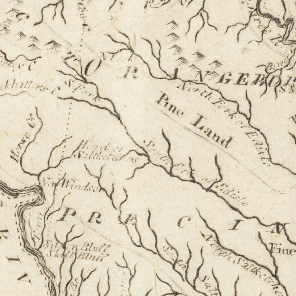
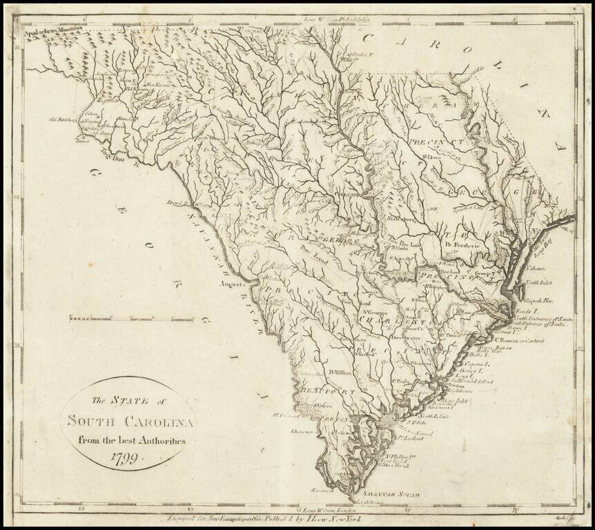
One of the earliest obtainable maps of the State of South Carolina.
The map shows counties, towns, roads, rivers, lakes, islands, swamps, courthouses, along with topographical details.
The map is based upon earlier maps that appeared in atlases published by Carey and by Reid.
his map appeared in Volume IV of John Payne's New and Complete Universal Geography, published in New York by John Low at the Shakespeare Head, No. 332 Water-Street, in 1799. Following the publication of Carey's American Atlas in 1795, there were a small group of 18th Century works which included a complete set of state maps, including John Reid's American Atlas, Joseph T. Scott's Gazetteer, Carey's Pocket atlas and works by Jedidiah Morse.
If you are a student, write to us in telegram: @antiquemaps and indicate what material you need and for what work you need a map in high detail. We are ready to provide material on special terms. For students only!