Map size in jpg-format: 3.92311MiB
Click to open in high resolution (open in new tab).
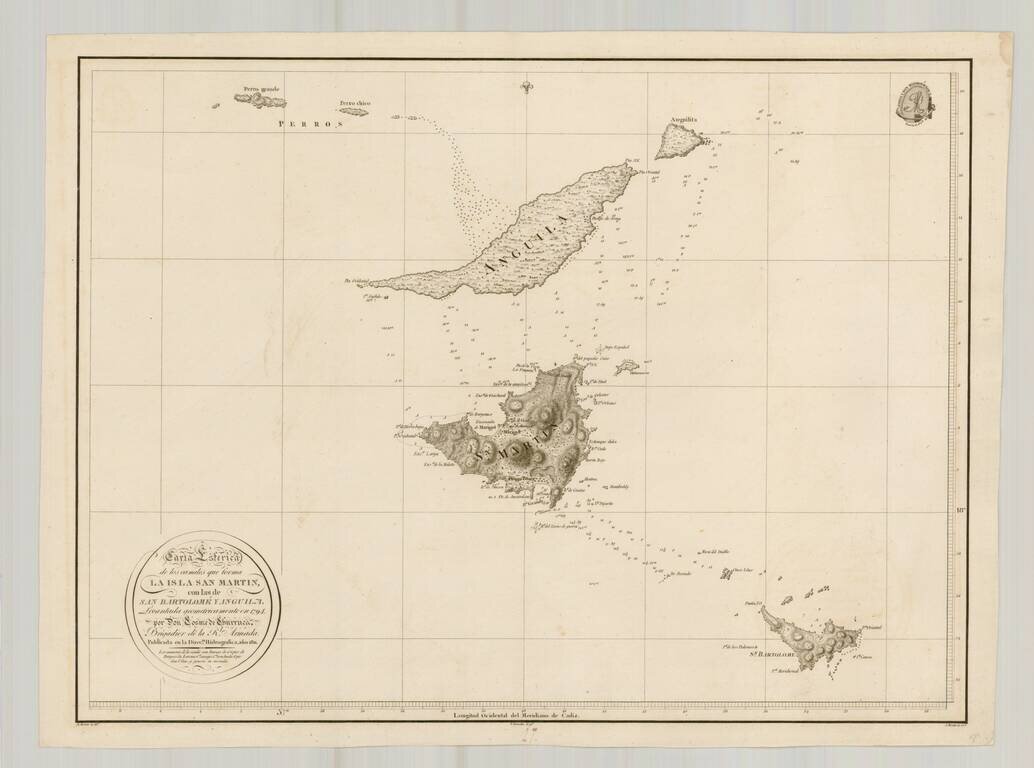
Rare separately issued chart of St. Barts, Anguila and St. Martin, published by the Direcion Hidrografica in Madrid.
The chart is one of the few charts or maps to focus on these islands and the only Spanish chart published in the 18th Century to treat this region in detail.
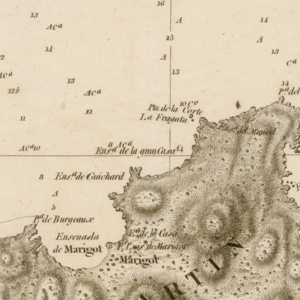
The chart shows signficant topographical details, soundings, smaller outer islands, shoals and place names.
OCLC lists 2 examples of the 1811 edition.
If you are a student, write to us in telegram: @antiquemaps and indicate what material you need and for what work you need a map in high detail. We are ready to provide material on special terms. For students only!


![[Wall Map] West-Indische Paskaert waer in de graden der breedde over weder zyden vande middelyn wassende so vergrooten dat die geproportioneert syn tegen hunne nevenstaende graden de lengde.](/map/small/60169.jpg)