Map size in jpg-format: 73.6549MiB
Click to open in high resolution (open in new tab).
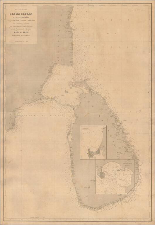
A Rare Large Chart of Sri Lanka
Scarce large format sea chart of Sri Lanka and the adjacent coast of India with inset maps of the harbors at Colombo and Galle.
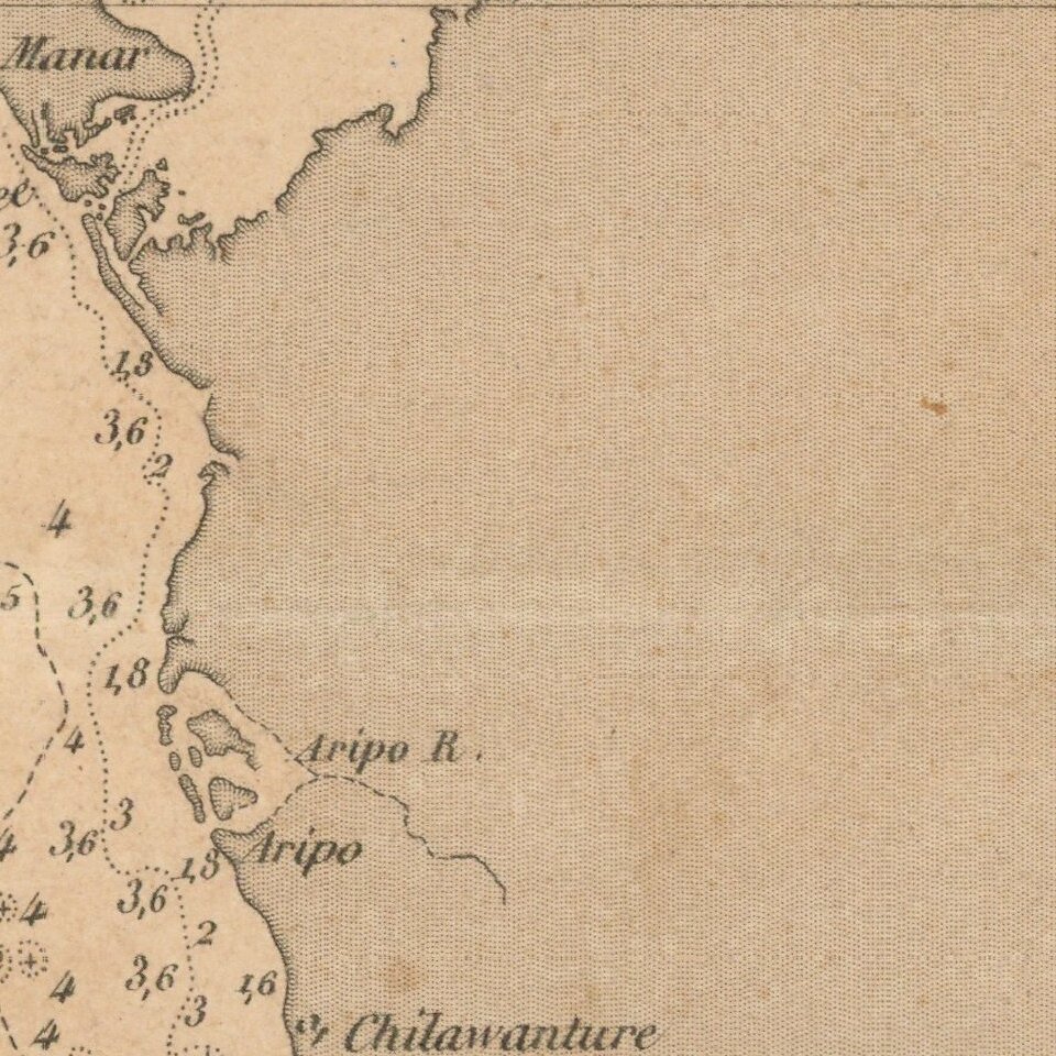
Detail is confined to the coastlines, and includes soundings, navigational hazards and lighthouses (colored in yellow).
If you are a student, write to us in telegram: @antiquemaps and indicate what material you need and for what work you need a map in high detail. We are ready to provide material on special terms. For students only!

![Il Disegno Della Terza Parte Dell' Asia [Gastaldi's Wall Map of SE Asia with extra panels!]](/map/small/30554hbp.jpg)
