Map size in jpg-format: 21.402MiB
Click to open in high resolution (open in new tab).

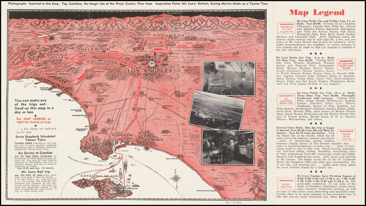
A pictorial map of Los Angeles from circa 1930 with photographs of Avalon, Mt. Lowe, and more. The map itself shows the area from Long Beach to the San Fernando Valley, and eastwards as far as Mt. Lowe and Monrovia. The image is drawn from a birdseye view over the Pacific and centered on downtown Los Angeles. Roads, railways, famous buildings, neighborhoods, and more are all shown.
This would be one of the earlier pictorial maps of Los Angeles. It shows the city still as a collection of separate towns, very different from the megalopolis we see today. The focus of the map is on advertising several tours of the city targeted at visitors. Five routes are shown on the map, one east to Pasadena, three routes west to Beverley Hills and the beaches, and the steamer tour of Catalina. These tours are described in more detail on the verso, and the amenities offered in travel from Tanner Motor Tours all mentioned. The Catalina Island trip is particularly focused on, with the island shown just offshore on the map.
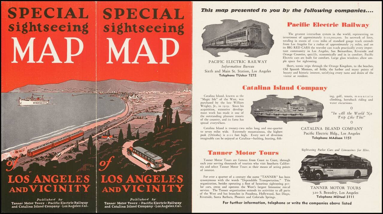
The map is a joint effort of Tanner Motor Tours, Pacific Electric Railway, and Catalina Island Company.
This map appears in a number of variations, and Rumsey dates a related map to circa 1930, consistent with the layout of Los Angeles at the time.
If you are a student, write to us in telegram: @antiquemaps and indicate what material you need and for what work you need a map in high detail. We are ready to provide material on special terms. For students only!
![[Signed Political Satire Artwork] Vietnam ... Vietnam ... Vietnam ...](/map/small/68726.jpg)

