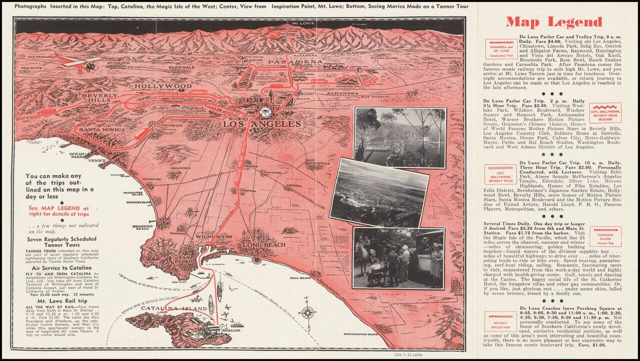
A pictorial map of Los Angeles from circa 1930 with photographs of Avalon, Mt. Lowe, and more. The map itself shows the area from Long Beach to the San Fernando Valley, and eastwards as far as Mt. Lowe and Monrovia. The image is drawn from a birdseye...