logo

1878. Sketch of Plan and Sections of a Breakwater San Luis Obispo Bay Cal. 1876 . . .

  • Sketch of Plan and Sections of a Breakwater   San Luis Obispo Bay Cal.  1876 . . .

Sketch of Plan and Sections of a Breakwater San Luis Obispo Bay Cal. 1876 . . . information:

Year of creation: 
Resolution size (pixels): 
 10404x11508 px
Disk Size: 
 16.5279MiB
Number of pages: 
 1
Place: 
 New York

Print information. Print size (Width x height in inches):
Printing at 72 dpi 
  144.5 х 159.83
Printing at 150 dpi 
 69.36 х 76.72
Printing at 300 dpi 
 34.68 х 38.36

An example of detailing the file of this map of in a printable high-resolution:

Click to open in high resolution (open in new tab).
Attention! this is just the central piece (central area 960x960 px) of the map file!
This is an example, so that you can see and study the level of detail of a given map. The entire Map will be fully available after payment!

Sketch of Plan and Sections of a Breakwater   San Luis Obispo Bay Cal.  1876 . . .

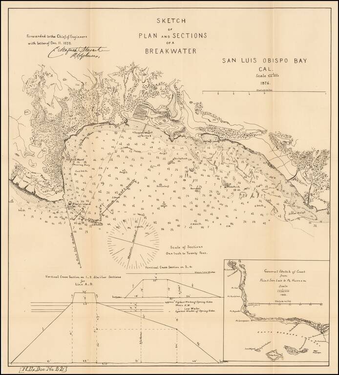
Scarce early map of San Luis Obispo area.

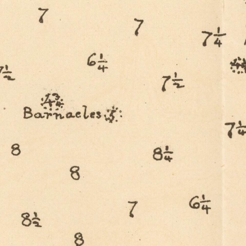
Shows topographical contour lines and other details. Includes a model elevation for the breakwater and regional map. One of the earliest obtainable plans of San Luis Obispo.


Special conditions for students!

If you are a student, write to us in telegram: @antiquemaps and indicate what material you need and for what work you need a map in high detail. We are ready to provide material on special terms. For students only!

Item information:

Year of creation:
Size:
10404x11508 px
Disk:
16.5279MiB
Number of pages:
1
Place:
New York
Author:
U.S. Government Survey.
$14.99

Related item