Map size in jpg-format: 52.2333MiB
Click to open in high resolution (open in new tab).
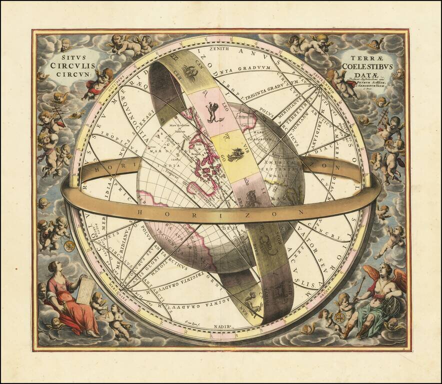
Striking original hand-color celestial chart, showing a Ptolemaic model of the Universe, with the earth in its relation to the plane of the ecliptic, from the 1708 Valk & Schenk edition of Andreas Cellarius' Harmonia Macrocosmica seu Atlas Universalis et Novus.
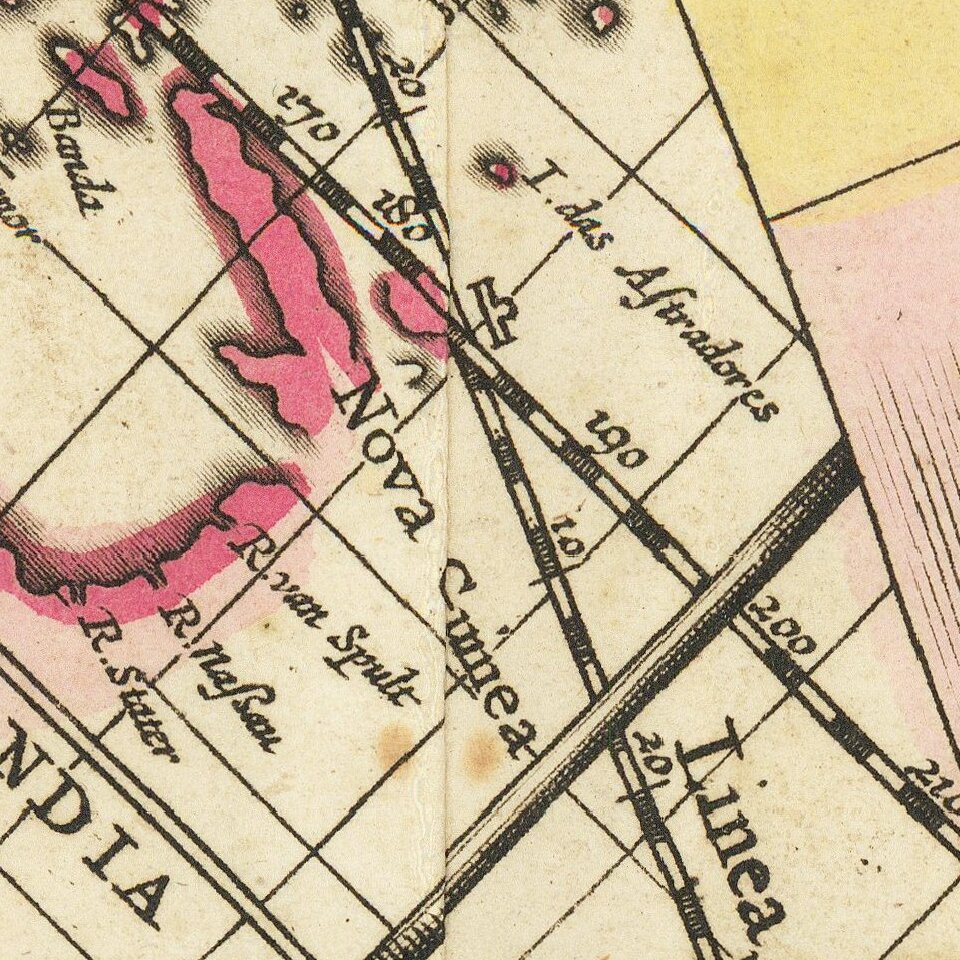
The map is centered on Australia and the Pacific and extends to the Indian Ocean in the West and California as an Island in the East. The map also shows the zodiac band and horizon lines.
Andreas Cellarius Harmonia Macrocosmica (first published in 1660) is generally regarded as one of the most spectacular cosmographical atlases that was published in the second half of the seventeenth century. The atlas was published in 1660 and 1661 by the Amsterdam publisher Johannes Janssonius (1588-1664), as a cosmographical supplement to his Atlas Novus. Andreas Cellarius had already started working on this atlas before 1647 and intended it to be a historical introduction for a two-volume treatise on cosmography but the second part was never published.
The plates of his Harmonia Macrocosmica were reprinted (without the Latin commentary) in 1708 by the Amsterdam publishers Gerard Valk (1651-1726) and Peter Schenk (1660-1711).
Andreas Cellarius was born in 1596 in Neuhausen and educated in Heidelberg. He emigrated to Holland in the early 17th century, and in 1637 moved to Hoorn, where he became the rector of the Latin School. Cellarius' best-known work is his Harmonia Macrocosmica, first issued in 1660 by Jan Jansson, as a supplement to Jansson's Atlas Novus. The work consists of a series of Celestial Charts begun by Cellarius in 1647 and intended as part of a two-volume treatise on cosmography, which was never issued.
Cellarius' charts are the most sought after of celestial charts, blending the striking imagery of the golden age of Dutch Cartography with contemporary scientific knowledge. The present examples come from the Valk & Schenk edition of Cellarius' atlas, which is unchanged from the 1661 edition. The 1660 and 1661 editions can be distinguished by the inclusion of a plate number in the lower right corner of the 1661 edition. The Valk & Schenk edition can be distinguished by the addition of the printer's name (Valk & Schenk) in the titles of the maps.
If you are a student, write to us in telegram: @antiquemaps and indicate what material you need and for what work you need a map in high detail. We are ready to provide material on special terms. For students only!


