Map size in jpg-format: 136.062MiB
Click to open in high resolution (open in new tab).
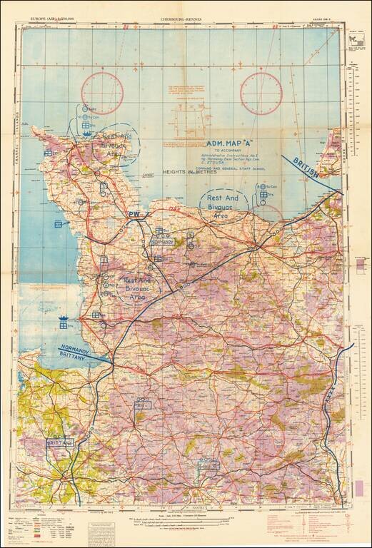
Rare Normandy Campaign Overprint Map Showing The Development of Allied Control of the Area Early in the August 1944 Breakout From Normandy.
United States Army map of the Cotentin Peninsula illustrating the military administration of the area, in the aftermath of the D-Day landings and subsequent campaign.
The map shows major administrative divisions, logistical supply chains, and combat zones (marked with "XXXX"). The map was overprinted on a 1943 air navigation chart for Cherbourg-Rennes, which was prepared by the
The map is datable to roughly the beginning of August 1944, as the Combat Zone line (illustrated at far right) would have moved out of the scope of the map thereafter.
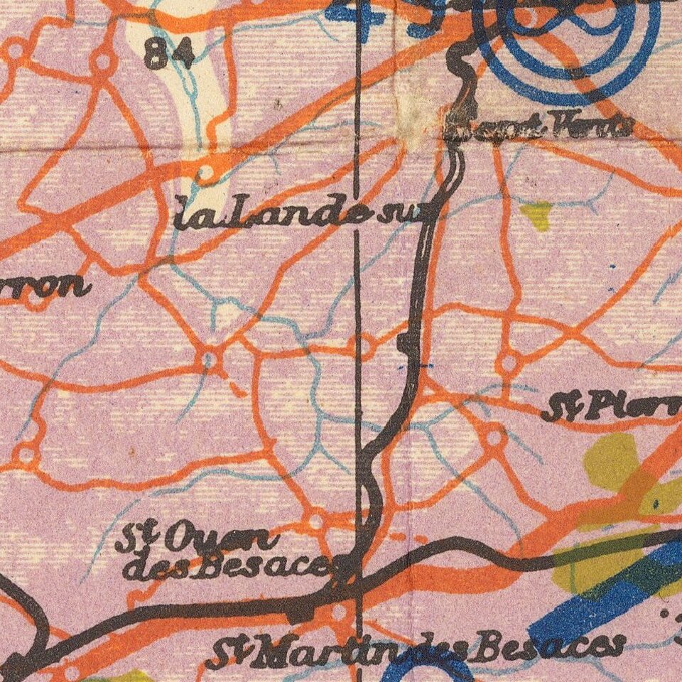
The map is best understood with reference to the legend linked here.
The map bears an interesting note at the bottom: "This chart is prepared for use in daylight under white, ultra-violet, red and amber lights.
Capture of Cherbourg and the Cotentin Peninsula
The capture of Cherbourg was a major Allied goal Operation Overlord. It was the first major city to fall, being capture 20 days after D-Day on the 26th of June 1944. The German forces that had been holding it extensively sabotaged and mined the harbor, limiting its usefulness to the Allies. The first ships began landing in Cherbourg in late July, but it was not until mid-August that it was fully usable again.
The Germans had assumed that cutting off the Cotentin Peninsula by directly assaulting toward Brittany was a main priority of D-Day. While Cherbourg was an important goal, the American divergence from this immediate strategy caused the Germans major defensive headaches in the initial stages of the invasion.
If you are a student, write to us in telegram: @antiquemaps and indicate what material you need and for what work you need a map in high detail. We are ready to provide material on special terms. For students only!