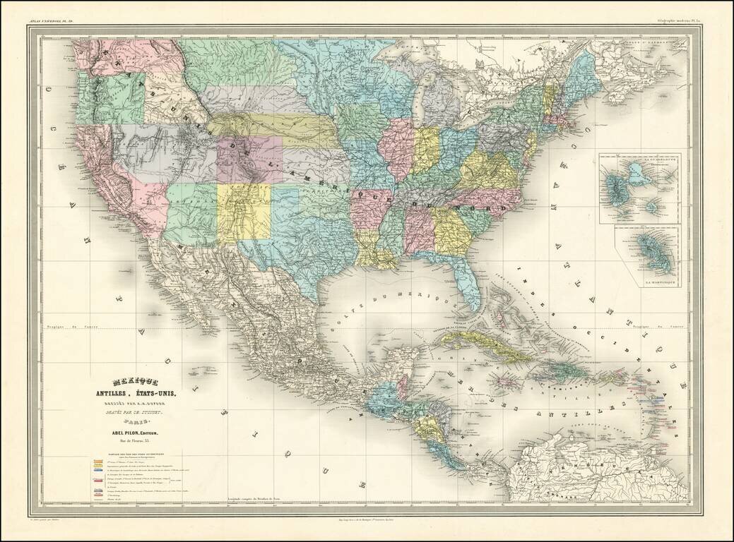
logo

1883. Rand McNally & Co.'s Idaho

  • Rand McNally & Co.'s Idaho

Rand McNally & Co.'s Idaho information:

Year of creation: 
Resolution size (pixels): 
 8619x12722 px
Disk Size: 
 38.419MiB
Number of pages: 
 1
Place: 
 Chicago

Print information. Print size (Width x height in inches):
Printing at 72 dpi 
  119.71 х 176.69
Printing at 150 dpi 
 57.46 х 84.81
Printing at 300 dpi 
 28.73 х 42.41

An example of detailing the file of this map of in a printable high-resolution:

Click to open in high resolution (open in new tab).
Attention! this is just the central piece (central area 960x960 px) of the map file!
This is an example, so that you can see and study the level of detail of a given map. The entire Map will be fully available after payment!

Rand McNally & Co.'s Idaho

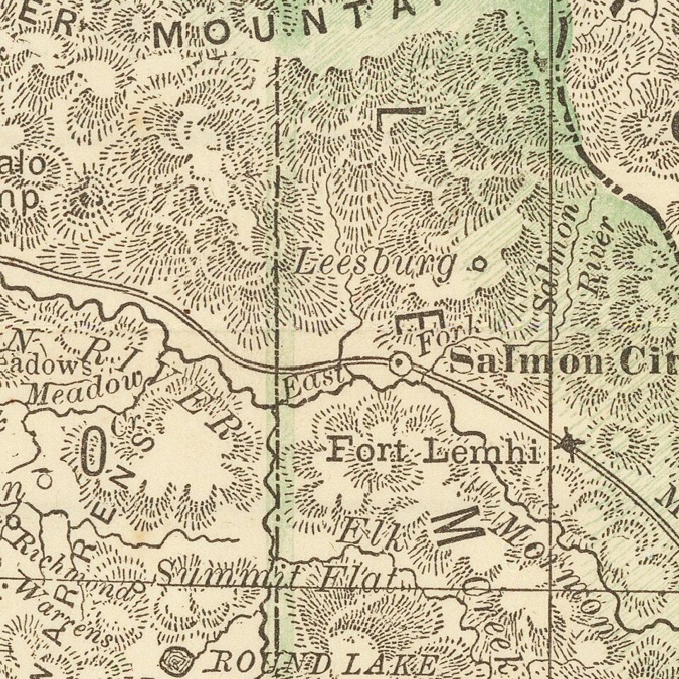
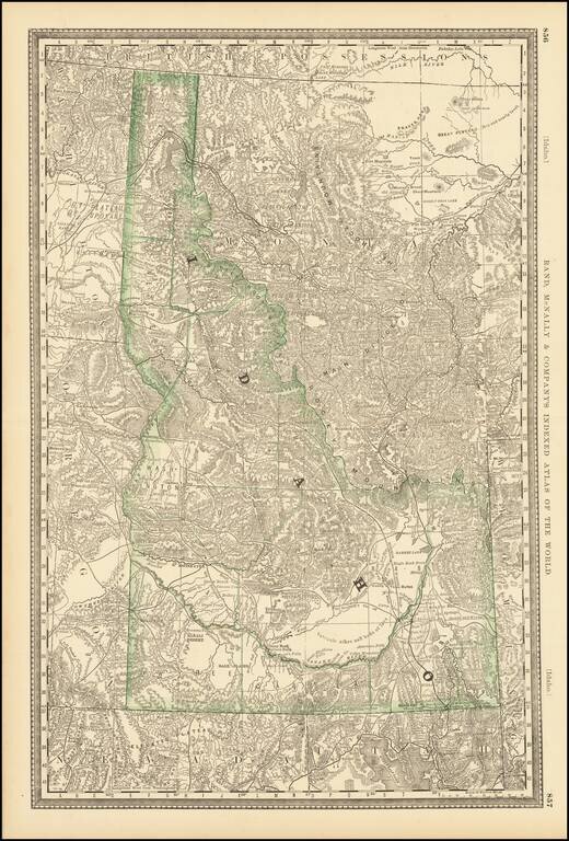
Early separate map of Idaho Territory.

Highly detailed, showing towns, mines, roads, railroads, mountains, rivers, Indian Reservations, military reserves, post offices, forts, lakes, etc.


Special conditions for students!

If you are a student, write to us in telegram: @antiquemaps and indicate what material you need and for what work you need a map in high detail. We are ready to provide material on special terms. For students only!

Item information:

Year of creation:
Size:
8619x12722 px
Disk:
38.419MiB
Number of pages:
1
Place:
Chicago
Author:
William Rand. Andrew McNally.
$14.99

Related item