logo

1874. Polar-Karte enthaltend: die Lander u. Meere vom Nord-Pol . . . . 1874

  • Polar-Karte enthaltend: die Lander u. Meere vom Nord-Pol . . . . 1874

Polar-Karte enthaltend: die Lander u. Meere vom Nord-Pol . . . . 1874 information:

Year of creation: 
Resolution size (pixels): 
 5808x4710 px
Disk Size: 
 4.06363MiB
Number of pages: 
 1
Place: 
 Gotha
Author: 

Print information. Print size (Width x height in inches):
Printing at 72 dpi 
  80.67 х 65.42
Printing at 150 dpi 
 38.72 х 31.4
Printing at 300 dpi 
 19.36 х 15.7

An example of detailing the file of this map of in a printable high-resolution:

Click to open in high resolution (open in new tab).
Attention! this is just the central piece (central area 960x960 px) of the map file!
This is an example, so that you can see and study the level of detail of a given map. The entire Map will be fully available after payment!

Polar-Karte enthaltend: die Lander u. Meere vom Nord-Pol . . . . 1874

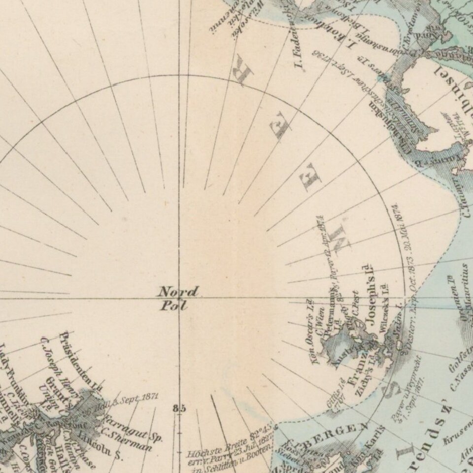
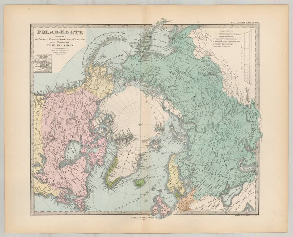
Striking map of the polar region, extending south to 50 degrees.

Nice detail in Alaska and Canada, including forts, several routes and other interesting details.


Special conditions for students!

If you are a student, write to us in telegram: @antiquemaps and indicate what material you need and for what work you need a map in high detail. We are ready to provide material on special terms. For students only!

Item information:

Year of creation:
Size:
5808x4710 px
Disk:
4.06363MiB
Number of pages:
1
Place:
Gotha
Author:
Adolf Stieler.
$14.99

Related item