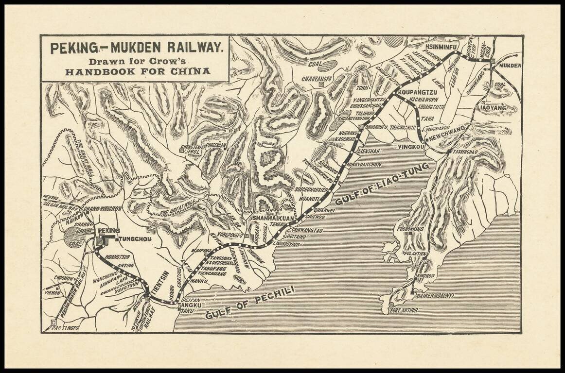
Small map covering northeastern China from Beijing to Shenyang (Mukden), covering the extent of the Peking-Mukden Railway. The so-called Jingha Railway first reached Mukden in 1912. The route was known as the Peking-Mukden Railway from 1907 to 1928,...
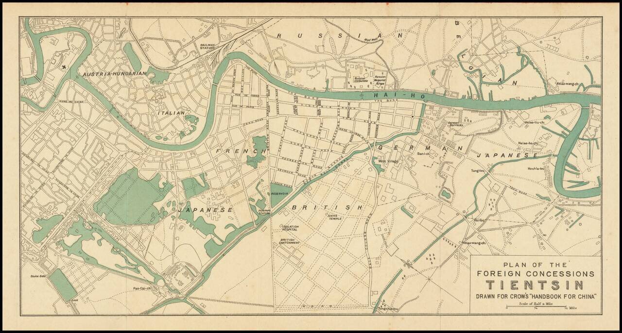
Attractive color-printed plan of the foreign concession area of Shanghai, published for Carl Crow's handbook on China in the early 1920s. As the map shows the Austria-Hungarian section, it probably predates the end of World War I and the fall of the...
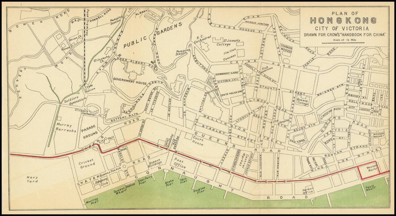
Nice antique map of Victoria, Hong Kong, published by Carl Crow in Shanghai, circa 1917. The map covers what is now central Hong Kong, from the harbor south to Government House and Robinson Road. All the major roads, and some of the major public...