logo

1757. Partie Septentrionale Du Royaume De Naples . . . 1750

  • Partie Septentrionale Du Royaume De Naples . . . 1750

Partie Septentrionale Du Royaume De Naples . . . 1750 information:

Year of creation: 
Resolution size (pixels): 
 15746x12990 px
Disk Size: 
 60.0816MiB
Number of pages: 
 1
Place: 
 Paris

Print information. Print size (Width x height in inches):
Printing at 72 dpi 
  218.69 х 180.42
Printing at 150 dpi 
 104.97 х 86.6
Printing at 300 dpi 
 52.49 х 43.3

An example of detailing the file of this map of in a printable high-resolution:

Click to open in high resolution (open in new tab).
Attention! this is just the central piece (central area 960x960 px) of the map file!
This is an example, so that you can see and study the level of detail of a given map. The entire Map will be fully available after payment!

Partie Septentrionale Du Royaume De Naples . . . 1750

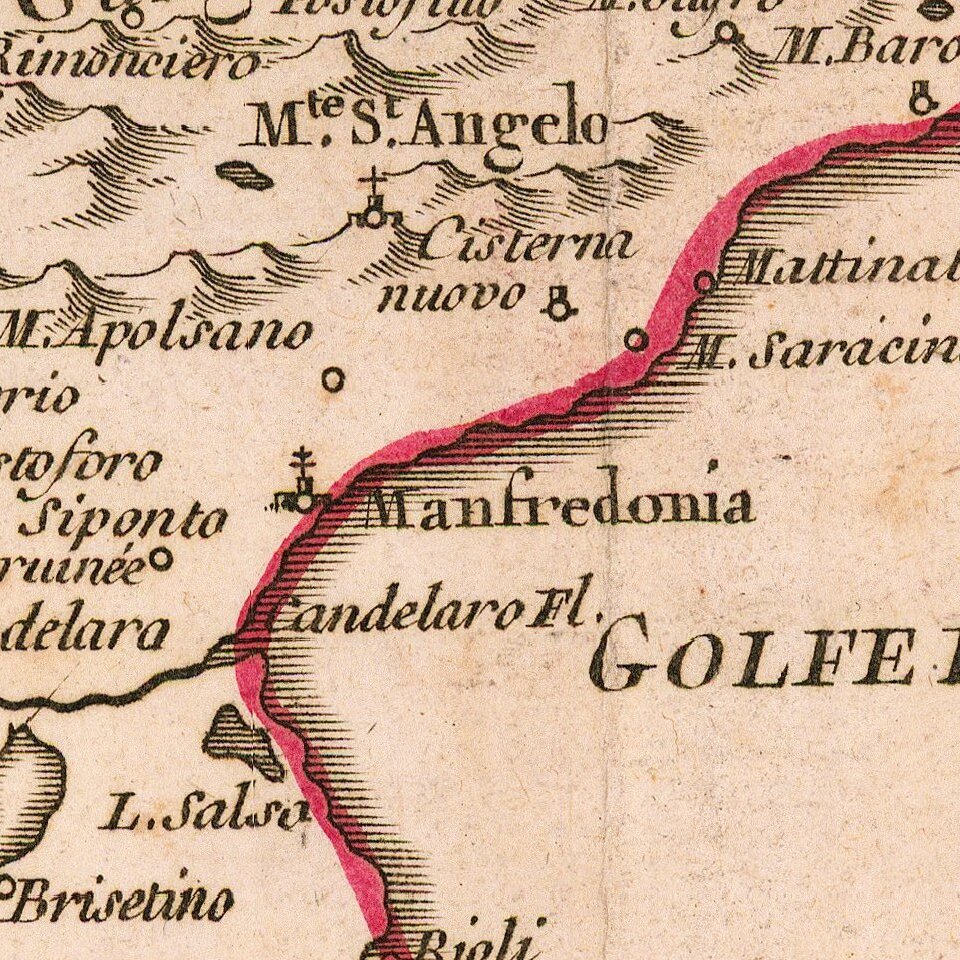
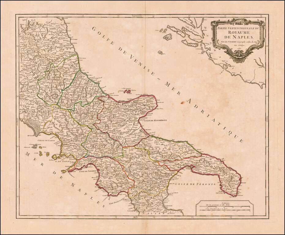
Striking map of the northern portion of the Kingdom of Naples, from an early edition of De Vaugondy's Atlas Universel.

Includes towns, mountains, rivers, lakes and a host of other details.

De Vaugondy's atlas was one of the most successful and enduring works of the second half of the 19th Century.

Pedley, Bel et Utile #361.

Special conditions for students!

If you are a student, write to us in telegram: @antiquemaps and indicate what material you need and for what work you need a map in high detail. We are ready to provide material on special terms. For students only!

Item information:

Year of creation:
Size:
15746x12990 px
Disk:
60.0816MiB
Number of pages:
1
Place:
Paris
Author:
Didier Robert de Vaugondy.
$14.99

Related item