Map size in jpg-format: 17.8968MiB
Click to open in high resolution (open in new tab).
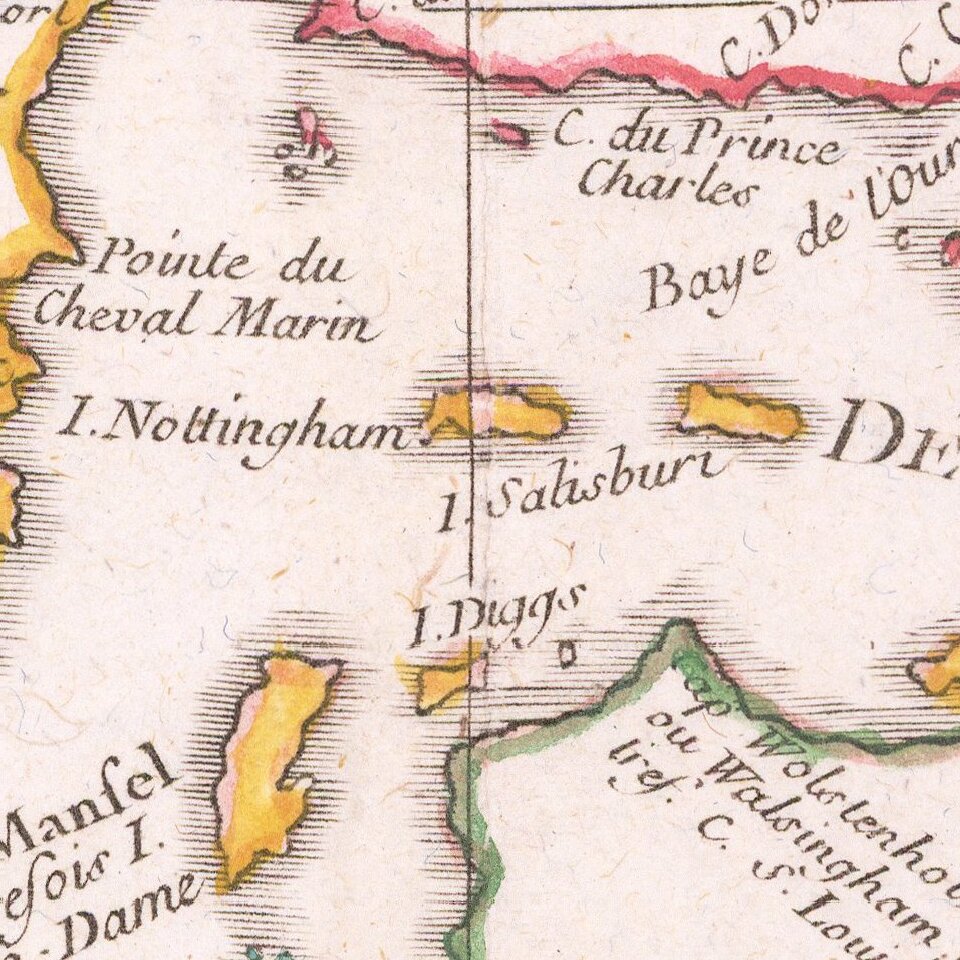
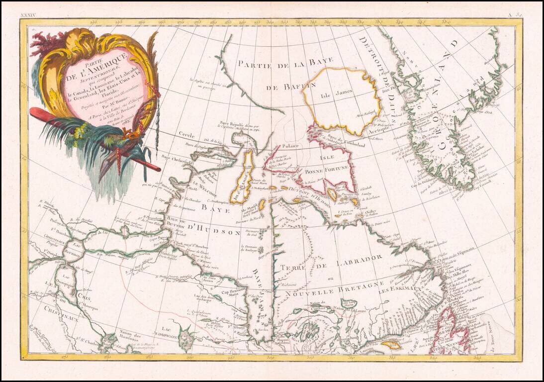
Detailed map of Canada and Hudson's Bay. Includes decorative cartouche and excellent detail throughout.
Extends from Lake Winnipeg to the Eastern Seaboard.
Rigobert Bonne (1727-1794) was an influential French cartographer of the late-eighteenth century. Born in the Lorraine region of France, Bonne came to Paris to study and practice cartography. He was a skilled cartographer and hydrographer and succeeded Jacques Nicolas Bellin as Royal Hydrographer at the Depot de la Marine in 1773. He published many charts for the Depot, including some of those for the Atlas Maritime of 1762. In addition to his work at the Depot, he is best known for his work on the maps of the Atlas Encyclopedique (1788) which he did with Nicholas Desmarest. He also made the maps for the Abbe Raynals’ famous Atlas de Toutes Les Parties Connues du Globe Terrestre (1780).
More than his individual works, Bonne is also important for the history of cartography because of the larger trends exemplified by his work. In Bonne’s maps, it is possible to see the decisive shift from the elaborate decorations of the seventeenth century and the less ornate, yet still prominent embellishments of the early to mid-eighteenth century. By contrast, Bonne’s work was simple, unadorned, and practical. This aesthetic shift, and the detail and precision of his geography, make Bonne an important figure in mapping history.
If you are a student, write to us in telegram: @antiquemaps and indicate what material you need and for what work you need a map in high detail. We are ready to provide material on special terms. For students only!
![[The First Maps in a la poupée Printed Color] Cartes en Couleur des Lieux Sujets aux tremblements de Terre Dans toutes les parties du Monde Selon le Sisteme de l’impulsion Solaire](/map/small/52293op.jpg)

