Map size in jpg-format: 3217030B
Click to open in high resolution (open in new tab).
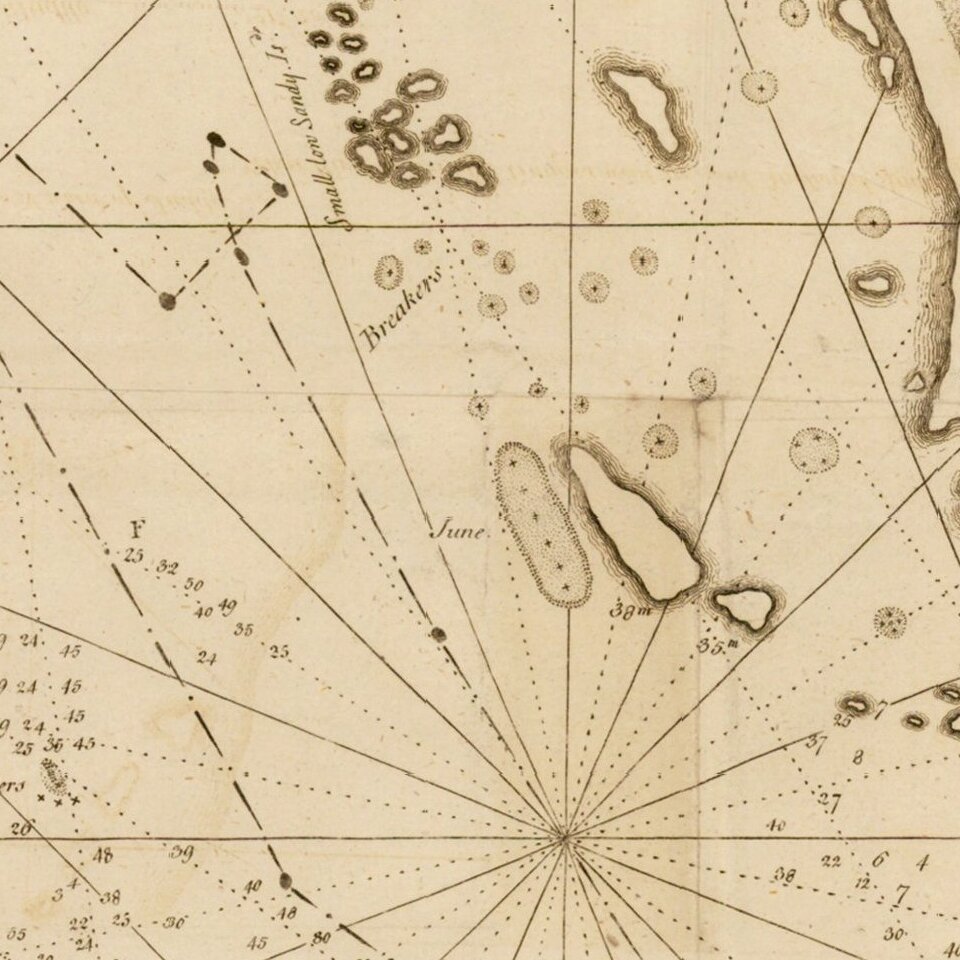
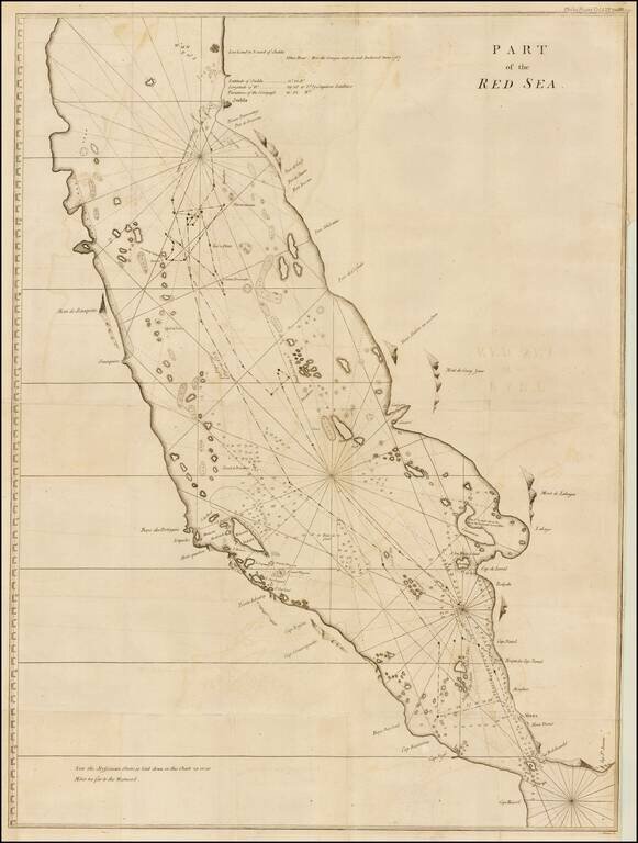
Finely executed map of the southern part of the Red Sea, which was published in A Letter to the Rev. Mr. Maskelyne, Astronomer Royal, F. R. S. Accompanying a New Chart of the Red Sea, with Two Draughts of the Roads of Mocha and Judda, and Several Observations Made during a Voyage on That Sea, by Capt. Charles Newland (January 1, 1772), published in the Philosophical Transactions of the Royal Geographical Society of London.
The map depicts information obtained by Captain Charles Newland from a map which he acquired during his stay in the West Indies. Newland noted that with exception of the mislocation of the Abyssinian Coastline, approxmately 25-30 miles too far to the west, it was the best chart he ever saw for the region.
The map extends to Jeddah in the north and focuses on the islands, shoals and coastlines of the southern part of the Red Sea, with a number of ports locating the profiles of several mountains shown.
The map is one of the earliest contributed by Charles Newland to British Hydrographical charting. His name is associated with a number of charts pubished in the following 2 decades,
If you are a student, write to us in telegram: @antiquemaps and indicate what material you need and for what work you need a map in high detail. We are ready to provide material on special terms. For students only!

![[Europe, Mediterranean, Asia Minor and the Persian Empire]](/map/small/43558.jpg)
