logo

1877. Nebraska

  • Nebraska

Map size in jpg-format: 20.1134MiB

Download "Nebraska", in high resolution.

Nebraska information:

Year of creation: 
Resolution size (pixels): 
 9805x7962 px
Disk Size: 
 20.1134MiB
Number of pages: 
 1
Place: 
 Philadelphia
Author: 

Print information. Print size (Width x height in inches):
Printing at 72 dpi 
  136.18 х 110.58
Printing at 150 dpi 
 65.37 х 53.08
Printing at 300 dpi 
 32.68 х 26.54

An example of detailing the file of this map of in a printable high-resolution:

Click to open in high resolution (open in new tab).
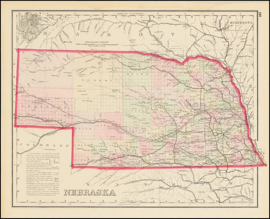
Attention! this is just the central piece (central area 960x960 px) of the map file!
This is an example, so that you can see and study the level of detail of a given map. The entire Map will be fully available after payment!

Nebraska

Scarce Late State

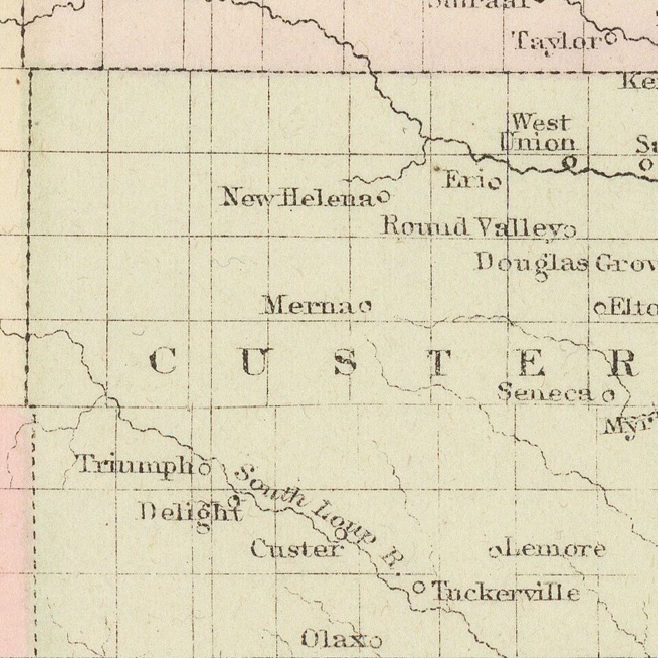
Detailed map of Nebraska, colored by counties and showing townships, roads, railroads, towns, etc.

The present example adds a number of western counties which did not appear in the earliest editions of this map.

O. W. Gray was a publishing firm based in Philadelphia. Later, they published as O. W. Gray & Son. They published atlases in the late nineteenth century. Gray's National Atlas was one of the most successful commercial ventures of the 1870s and one of the last to employ hand coloring on maps.


Special conditions for students!

If you are a student, write to us in telegram: @antiquemaps and indicate what material you need and for what work you need a map in high detail. We are ready to provide material on special terms. For students only!

Item information:

Year of creation:
Size:
9805x7962 px
Disk:
20.1134MiB
Number of pages:
1
Place:
Philadelphia
Author:
O.W. Gray.
$14.99

Related item