Map size in jpg-format:
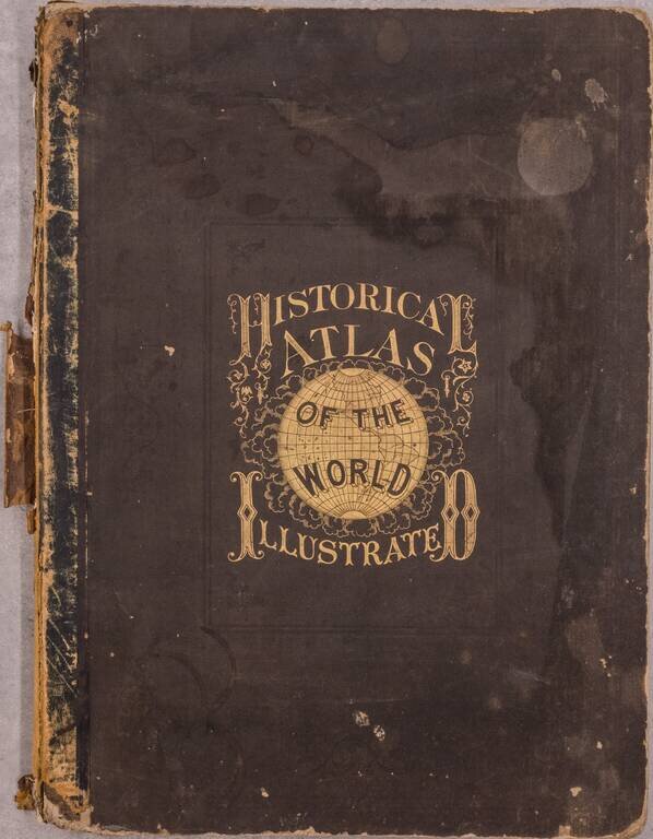
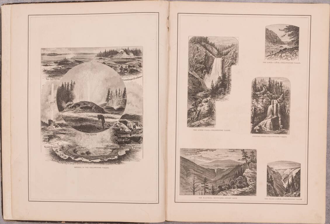
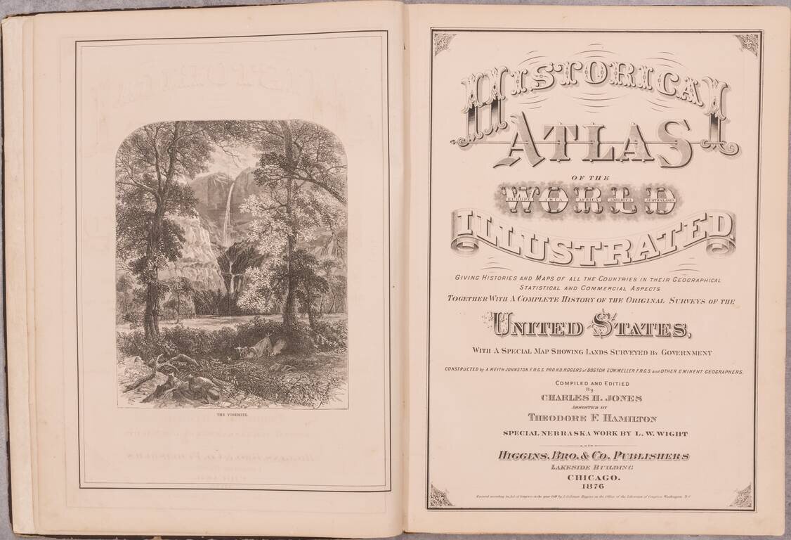
An interesting post-Civil War American atlas of the world, published by Higgins, Bros. & Co. in Chicago and authored by Charles H. Jones with the assistance Theodore F. Hamilton. This edition includes the rare L.W. Wight "New Section and Township Map of Nebraska" as well as numerous wood-engraved illustrations of the natural wonders that captivated the nation at the time - Yellowstone and Yosemite.
Maps
1. New Sectional and Township Map of Nebraska published by L.W. Wight, Lakeside Building Chicago 1876. 2. The World in Hemispheres 3, 4. North America 5. Map of Newfoundland, New Brunswick, Novia Scotia, Cape Breton & Prince Edward Is. 6. Map of Cuba, Map of Jamaica 7, 8. New Railroad Map of the United States and Dominion of Canada 9, 10. Maryland, Delaware, New Jersey, Pennsylvania, New York, Connecticut, Massachusetts, Vermont, New Hampshire, Maine 11. West Virginia and Virginia 12. Indiana and Ohio, Colorado 13. Georgia, Michigan 14. Kentucky and Tennessee 15. North and South Carolina 16. Wisconsin, Mississippi 17. Utah, Illinois 18. Missouri and Arkansas 19. Kansas 20. Florida and part of Georgia 21. Alabama, Minnesota 22. Louisiana, Iowa 23. Nebraska 24, 25. Texas 26. Dakota 27. Montana 28. Washington, Wyoming 29. New Mexico 30. Arizona 31. Idaho 32, 33. California and Nevada 34. Oregon 35. Map of Kansas, Colorado & Nebraska 37, 38. South America 39. Central America 46 (mis-numbered). Central America (southern part) including the United States of Colombia 41, 42. Brazil, Bolivia, Peru, & Ecuador 43, 44. Southern States of South America. La Plata, Chili, Paraguay, Uruguay & Patagonia 45, 46. Europe 47, 48. The British Isles 49. Map of France 50. Holland 51. Belgium 52. Spain and Portugal 53, 54. Germany and the Western Provinces of Prussia, comprehending Westphalia and the Rhine Province 54 1/2. Germany 55. The Scandinavian Kingdoms. Norway, Sweden & Denmark 56. Austria 57. Russia in Europe 58. Switzerland 59. Turkey in Europe, Greece and the Ionian Islands 60. Italy 61, 62. Asia 63, 64. India, Hindostan 65. China and Japan, Islands of Japan 66, 67. Africa 68. Oceania 69. Palestine or the Holy Land
If you are a student, write to us in telegram: @antiquemaps and indicate what material you need and for what work you need a map in high detail. We are ready to provide material on special terms. For students only!