logo

1880. Monterey Harbor California . . . 1852 (Thick Paper Copy)

  • Monterey Harbor California . . . 1852  (Thick Paper Copy)

Monterey Harbor California . . . 1852 (Thick Paper Copy) information:

Year of creation: 
Resolution size (pixels): 
 8711x9530 px
Disk Size: 
 9.04439MiB
Number of pages: 
 1
Place: 
 Washington

Print information. Print size (Width x height in inches):
Printing at 72 dpi 
  120.99 х 132.36
Printing at 150 dpi 
 58.07 х 63.53
Printing at 300 dpi 
 29.04 х 31.77

An example of detailing the file of this map of in a printable high-resolution:

Click to open in high resolution (open in new tab).
Attention! this is just the central piece (central area 960x960 px) of the map file!
This is an example, so that you can see and study the level of detail of a given map. The entire Map will be fully available after payment!

Monterey Harbor California . . . 1852  (Thick Paper Copy)

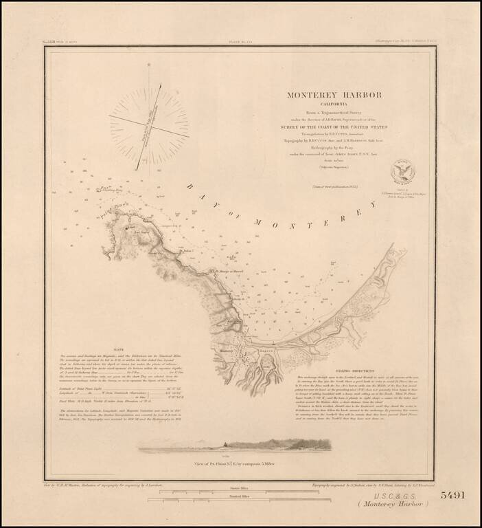
Nice example of this important early survey of Monterey Bay, published by the United States Coast & Geodetic Survey.

Incudes a profile view of Pt. Pinos.

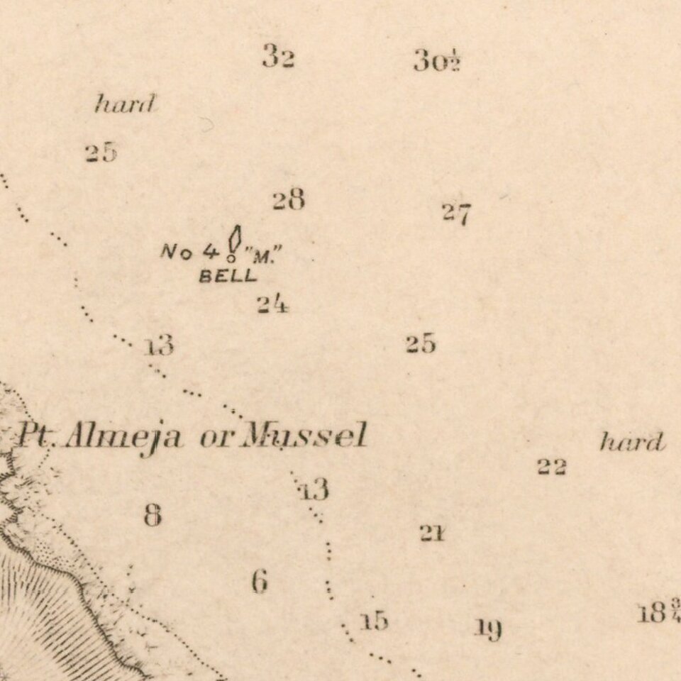
Shows a Monterey town plan, Point Pinos, Pt. Anlon, Pt Almejor Mussell, the Lagoon, Fort, Ruins of the old battery, Cemetery, Customs House, etc.

The US Coast Coast Survey became the US Coast & Geodetic Survey in 1878.


Special conditions for students!

If you are a student, write to us in telegram: @antiquemaps and indicate what material you need and for what work you need a map in high detail. We are ready to provide material on special terms. For students only!

Item information:

Year of creation:
Size:
8711x9530 px
Disk:
9.04439MiB
Number of pages:
1
Place:
Washington
Author:
U.S. Coast & Geodetic Survey.
$14.99

Related item