Map size in jpg-format: 21.2406MiB
Click to open in high resolution (open in new tab).
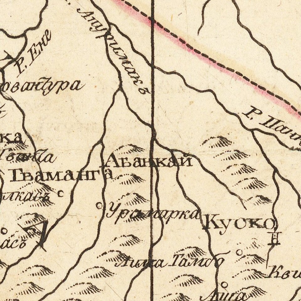
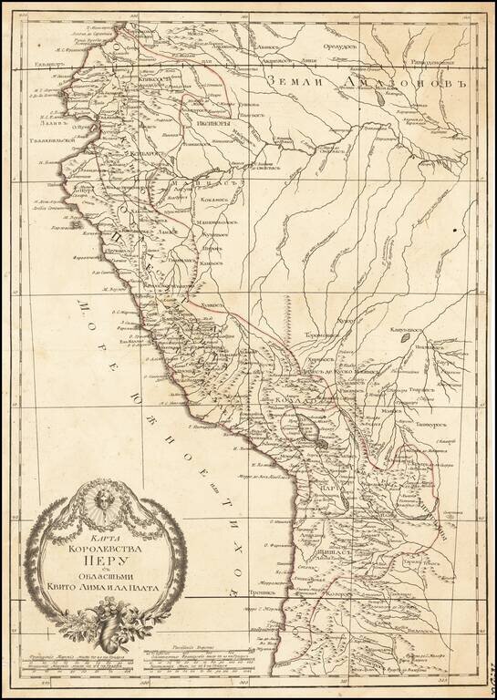
Russian-language antique map of the "Kingdom of Peru" from Ecuador to Chile on the western coast of South America.
The map was created by Alexander Wilbrecht in Saint Petersburg in 1793, and was based on Janvier's Carte Du Perou ou se trouvent les Audiencees de Quito, Lima et la Plata.
If you are a student, write to us in telegram: @antiquemaps and indicate what material you need and for what work you need a map in high detail. We are ready to provide material on special terms. For students only!
![[Straits of Le Maire, Nova Guinea, South Pacific]](/map/small/61345op.jpg)