Map size in jpg-format: 2.30787MiB
Click to open in high resolution (open in new tab).
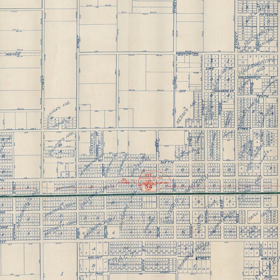
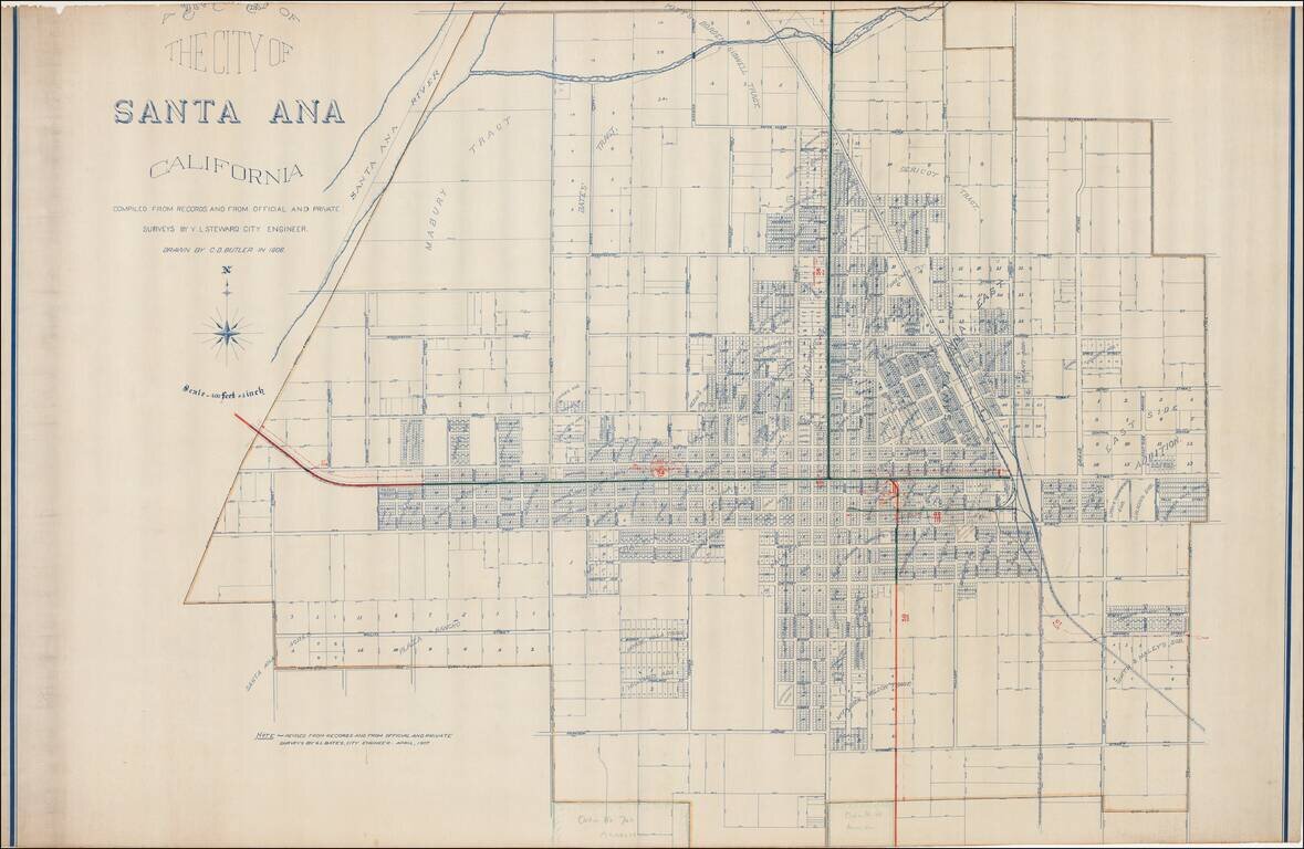
Excellent early map of Santa Ana, compiled by its City Engineer, W.L. Steward in 1906 and drawn by C.D. Butler, and later updated by G.L. Bates, the City Engineer in 1907.
A reduced size edition of the map was printed by George L. Bates in Santa Ana, in 1907.
Includes a number of colored annotations, showing the future lines of the the Southern Pacific Railroad. Lists a number of early subdivisions.
If you are a student, write to us in telegram: @antiquemaps and indicate what material you need and for what work you need a map in high detail. We are ready to provide material on special terms. For students only!


