Map size in jpg-format: 36.8803MiB
Click to open in high resolution (open in new tab).

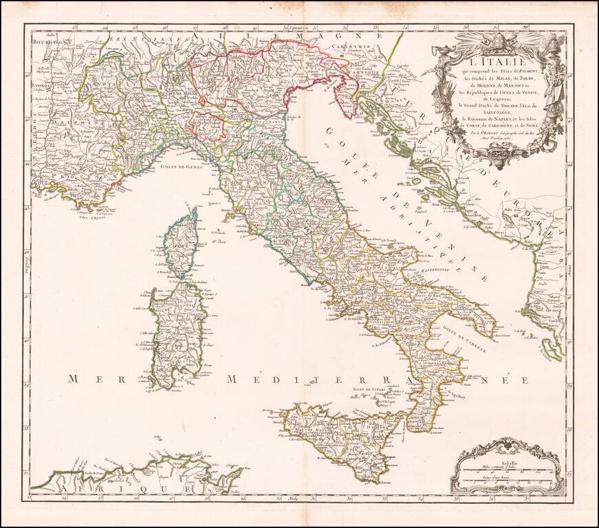
Detailed map of Italy, Sicily, Sardinia & Corsica, from an early edition of DeVaugondy's Atlas Universel.
Includes a decorative cartouche.
De Vaugondy's atlas was one of the most successful and enduring works of the 2nd half of the 19th Century.
If you are a student, write to us in telegram: @antiquemaps and indicate what material you need and for what work you need a map in high detail. We are ready to provide material on special terms. For students only!


