Map size in jpg-format: 1.97493MiB
Click to open in high resolution (open in new tab).
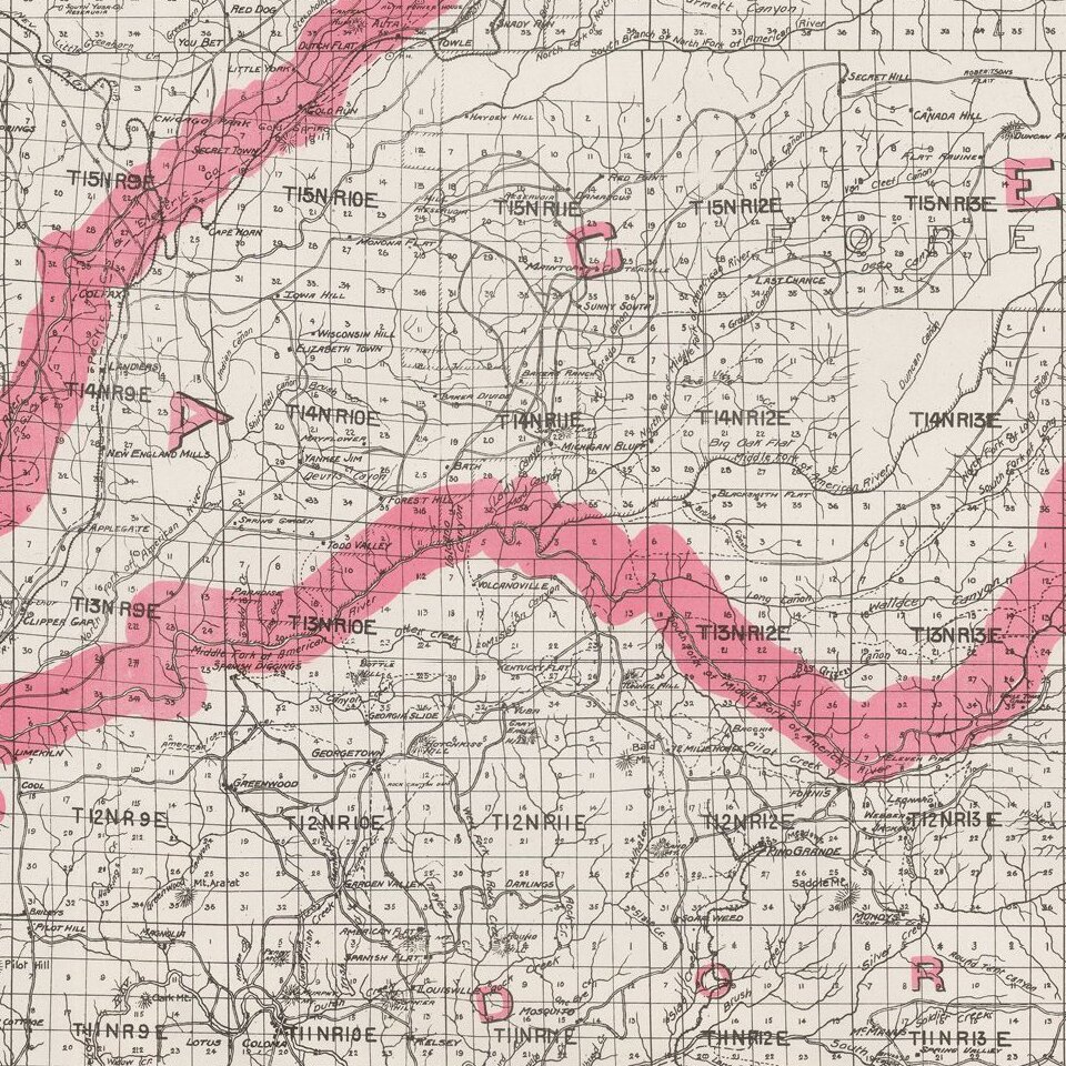
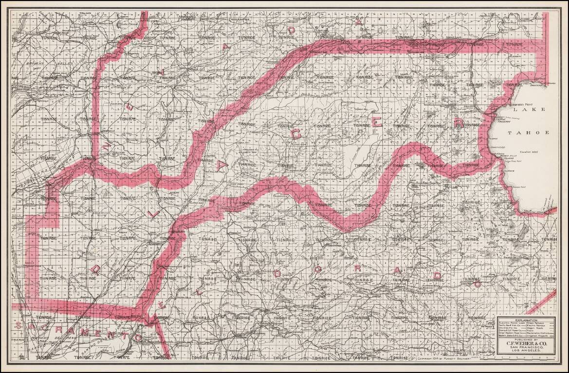
Separately issued unfolded map of Lake Tahoe, El Dorado County, Placer County, etc., published by C.F. Weber.
The map shows early railroads, roads, wagon roads, mines, lakes, mills, and many other details.
If you are a student, write to us in telegram: @antiquemaps and indicate what material you need and for what work you need a map in high detail. We are ready to provide material on special terms. For students only!


