Map size in jpg-format: 100.519MiB
Click to open in high resolution (open in new tab).
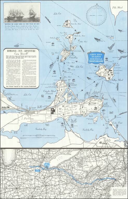
Lively pictorial map of the Lake Erie and Peninsula Vacationland, near Port Clinton Ohio, between Toledo and Cleveland on Lake Erie.
The main map focuses on recreational opportunities on Marblehead and Catawba Island Peninsulas, with Port Clinton. The lower map shows the route to the area via the Pennsylvania Turnpike.
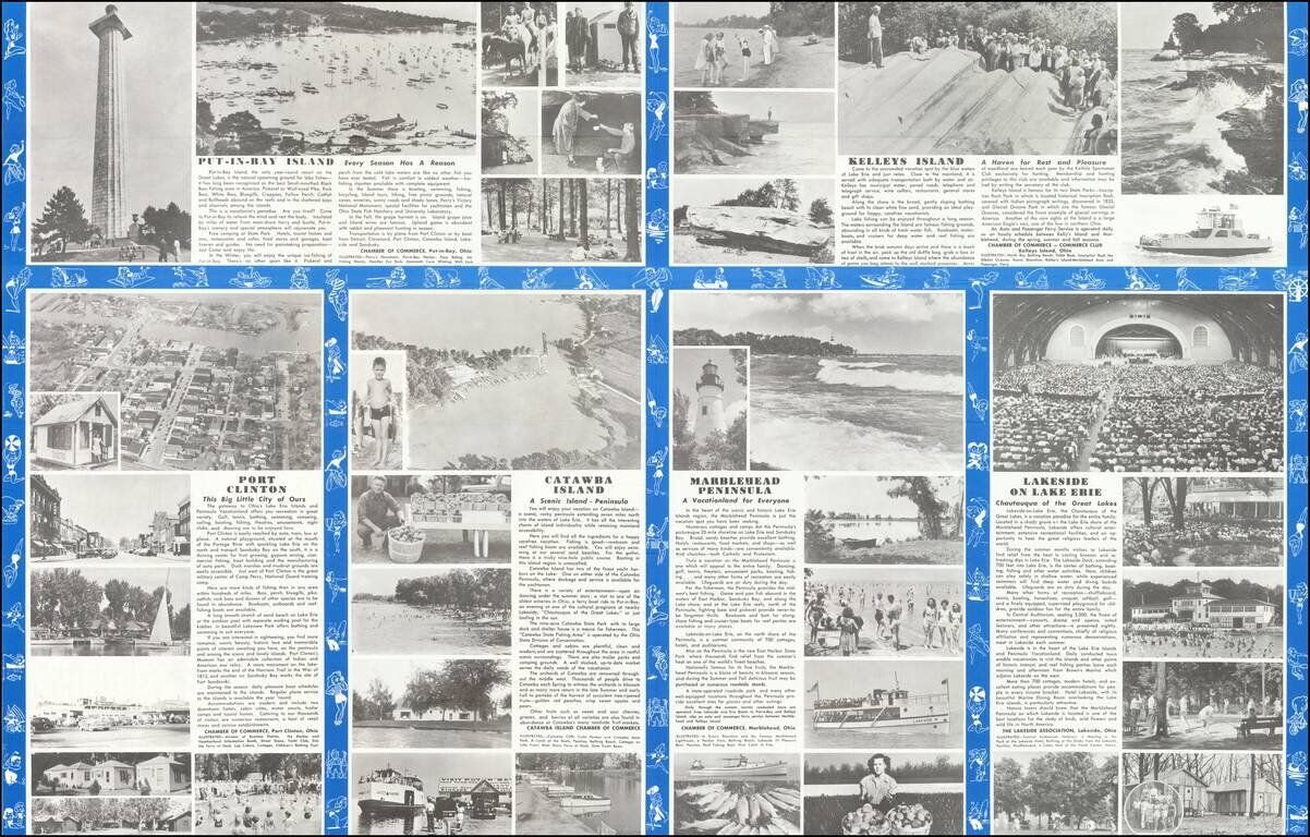
The verso is filled with photos and promotional details about different parts of the area.
If you are a student, write to us in telegram: @antiquemaps and indicate what material you need and for what work you need a map in high detail. We are ready to provide material on special terms. For students only!