Map size in jpg-format: 69.195MiB
Click to open in high resolution (open in new tab).
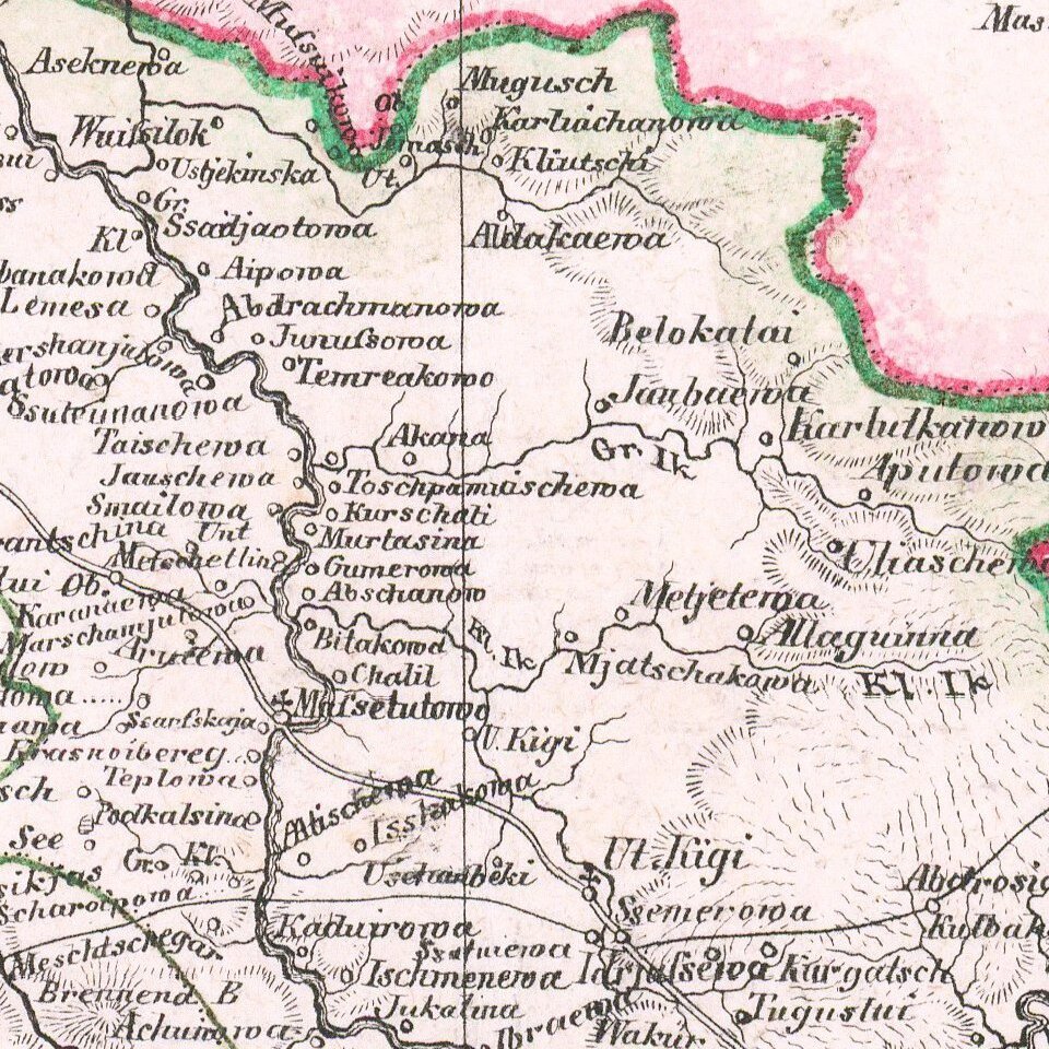
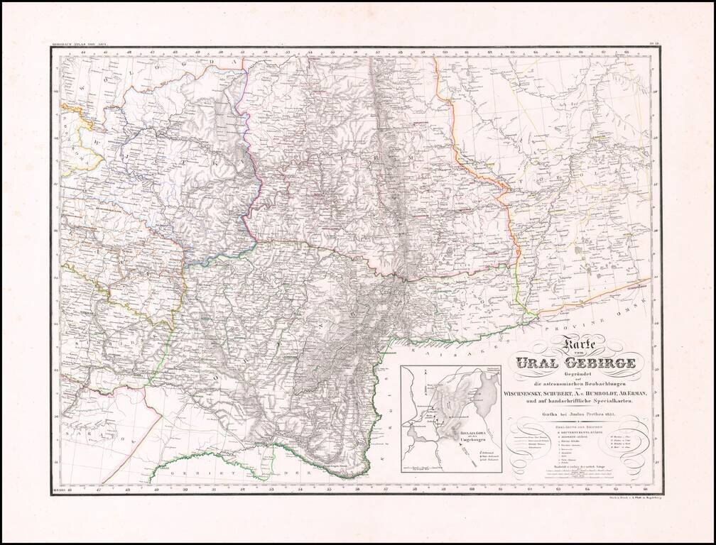
Rare and highly detailed map of the Ural region, with a large inset of the Bjelaja Gora area.
The map shows post roads, government roads, district roads, mountains, rivers, lakes, towns, boundaries and a host of other details.
There are very few maps which focus on this region in the early 19th Century.
If you are a student, write to us in telegram: @antiquemaps and indicate what material you need and for what work you need a map in high detail. We are ready to provide material on special terms. For students only!
![[Signed Political Satire Artwork] Vietnam ... Vietnam ... Vietnam ...](/map/small/68726.jpg)

