Map size in jpg-format: 527228B
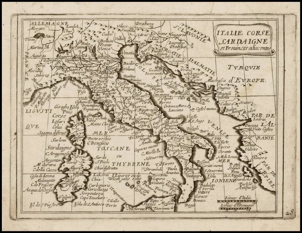
Rare map of Italy, Corsica and Sardinia, which appeared in Picart's Tresor des carte Geographiques, published in Paris.
Picart's map is based upon Jansson's map of the same region, published in his Atlas Minor in 1628. The first French version of the map was published by Jean Boisseau in 1643, followed by this rare map by Picart, first published in 1651. The present example is the 2nd state of Picart's 1651 map
The map is extremely rare, with no appearances in AMPR in the past 30 years.
If you are a student, write to us in telegram: @antiquemaps and indicate what material you need and for what work you need a map in high detail. We are ready to provide material on special terms. For students only!


