Map size in jpg-format: 2461150B
Click to open in high resolution (open in new tab).
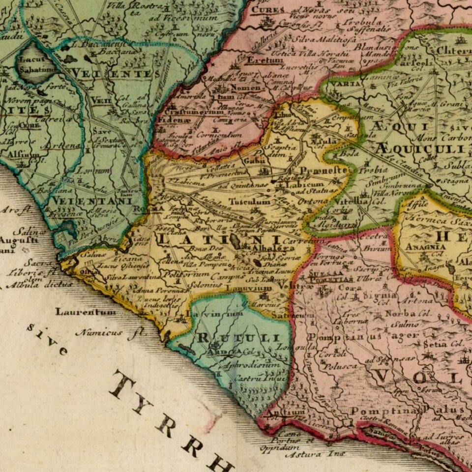
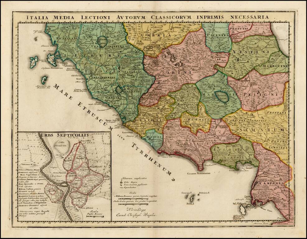
Detailed map of Central Italy in the Etruscan era.
The map is divided into early regions, with Rome referred to as "Septicollis." Many early roads are illustrated.
If you are a student, write to us in telegram: @antiquemaps and indicate what material you need and for what work you need a map in high detail. We are ready to provide material on special terms. For students only!


