logo

1914. (Imperial County)

  • (Imperial County)

Map size in jpg-format: 28.0729MiB

Download "(Imperial County)", in high resolution.

(Imperial County) information:

Year of creation: 
Resolution size (pixels): 
 16355x12009 px
Disk Size: 
 28.0729MiB
Number of pages: 
 1
Place: 
 San Francisco

Print information. Print size (Width x height in inches):
Printing at 72 dpi 
  227.15 х 166.79
Printing at 150 dpi 
 109.03 х 80.06
Printing at 300 dpi 
 54.52 х 40.03

An example of detailing the file of this map of in a printable high-resolution:

Click to open in high resolution (open in new tab).
Attention! this is just the central piece (central area 960x960 px) of the map file!
This is an example, so that you can see and study the level of detail of a given map. The entire Map will be fully available after payment!

(Imperial County)

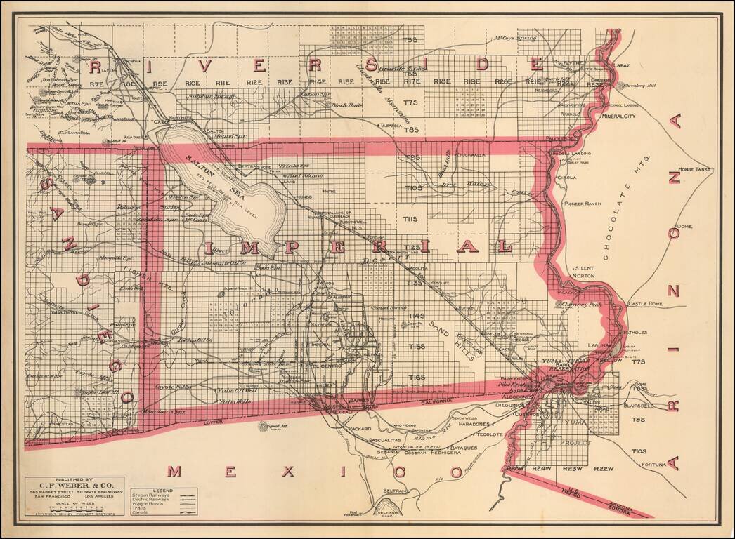
One of the Earliest Separate Maps of Imperial County

Scarce separately issued map of Imperial County, published by C.F. Weber & Co.

The map was issued just 7 years after the formation of the county and 9 years after the Salton Sea was created by an accidental re-direction of the Colorado River.

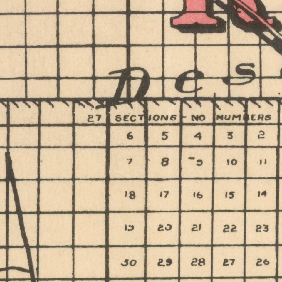
The map is subdivided by townships and identifies towns, rivers, roads, railroads, and other details.

The township surveys are incomplete in large portions of the east part of the county.

Rarity

OCLC records 1 example (UC San Diego). This is the first example we have seen on the market.


Special conditions for students!

If you are a student, write to us in telegram: @antiquemaps and indicate what material you need and for what work you need a map in high detail. We are ready to provide material on special terms. For students only!

Item information:

Year of creation:
Size:
16355x12009 px
Disk:
28.0729MiB
Number of pages:
1
Place:
San Francisco
Author:
Punnett Brothers. C.F. Weber Co..
$14.99

Related item