logo

1916. Geo. W. Eldridge's Chart D -- Massachusetts Bay And The Coast From Chatham To Glochester 1916 . . .

  • Geo. W. Eldridge's Chart D -- Massachusetts Bay And The Coast From Chatham To Glochester  1916 . . .

Geo. W. Eldridge's Chart D -- Massachusetts Bay And The Coast From Chatham To Glochester 1916 . . . information:

Year of creation: 
Resolution size (pixels): 
 9881x17211 px
Disk Size: 
 24.5433MiB
Number of pages: 
 1
Place: 
 Chatham, Massachusetts
Author: 

Print information. Print size (Width x height in inches):
Printing at 72 dpi 
  137.24 х 239.04
Printing at 150 dpi 
 65.87 х 114.74
Printing at 300 dpi 
 32.94 х 57.37

An example of detailing the file of this map of in a printable high-resolution:

Click to open in high resolution (open in new tab).
Attention! this is just the central piece (central area 960x960 px) of the map file!
This is an example, so that you can see and study the level of detail of a given map. The entire Map will be fully available after payment!

Geo. W. Eldridge's Chart D -- Massachusetts Bay And The Coast From Chatham To Glochester  1916 . . .

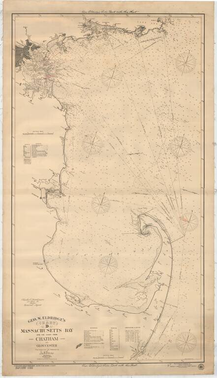
Detailed sailing chart showing Massachusetts Bay and the coast from Chatham, up to the tip of Cape Cod and then around as far as Gloucester northeast of Boston.

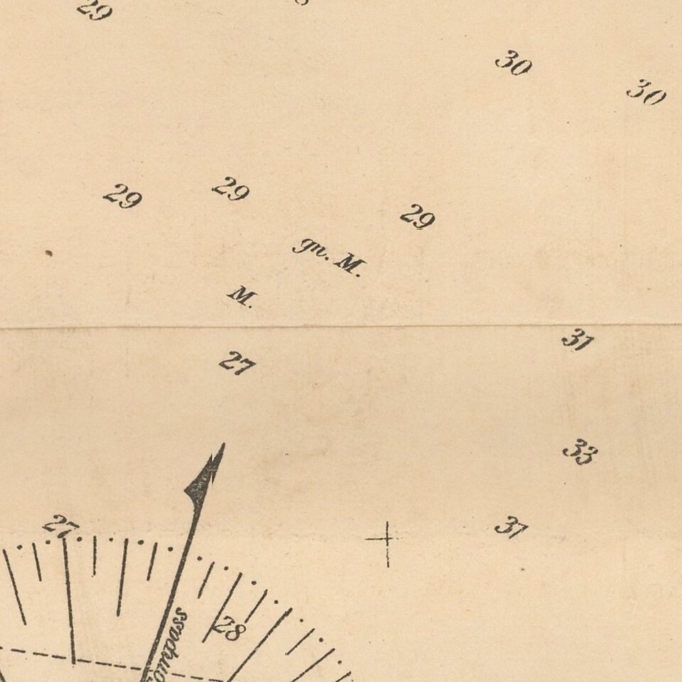
Soundings are given throughout as are sailing directions. The coast line is accurately depicted with principal features, including towns and light houses. Also shown throughout are buoys, spars and beacons, identified in a key at bottom.


Special conditions for students!

If you are a student, write to us in telegram: @antiquemaps and indicate what material you need and for what work you need a map in high detail. We are ready to provide material on special terms. For students only!

Item information:

Year of creation:
Size:
9881x17211 px
Disk:
24.5433MiB
Number of pages:
1
Place:
Chatham, Massachusetts
Author:
George Eldridge.
$14.99

Related item