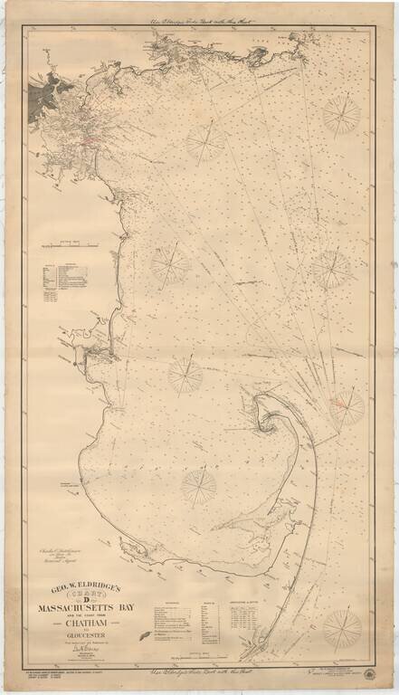
Detailed sailing chart showing Massachusetts Bay and the coast from Chatham, up to the tip of Cape Cod and then around as far as Gloucester northeast of Boston. Soundings are given throughout as are sailing directions. The coast line is accurately...
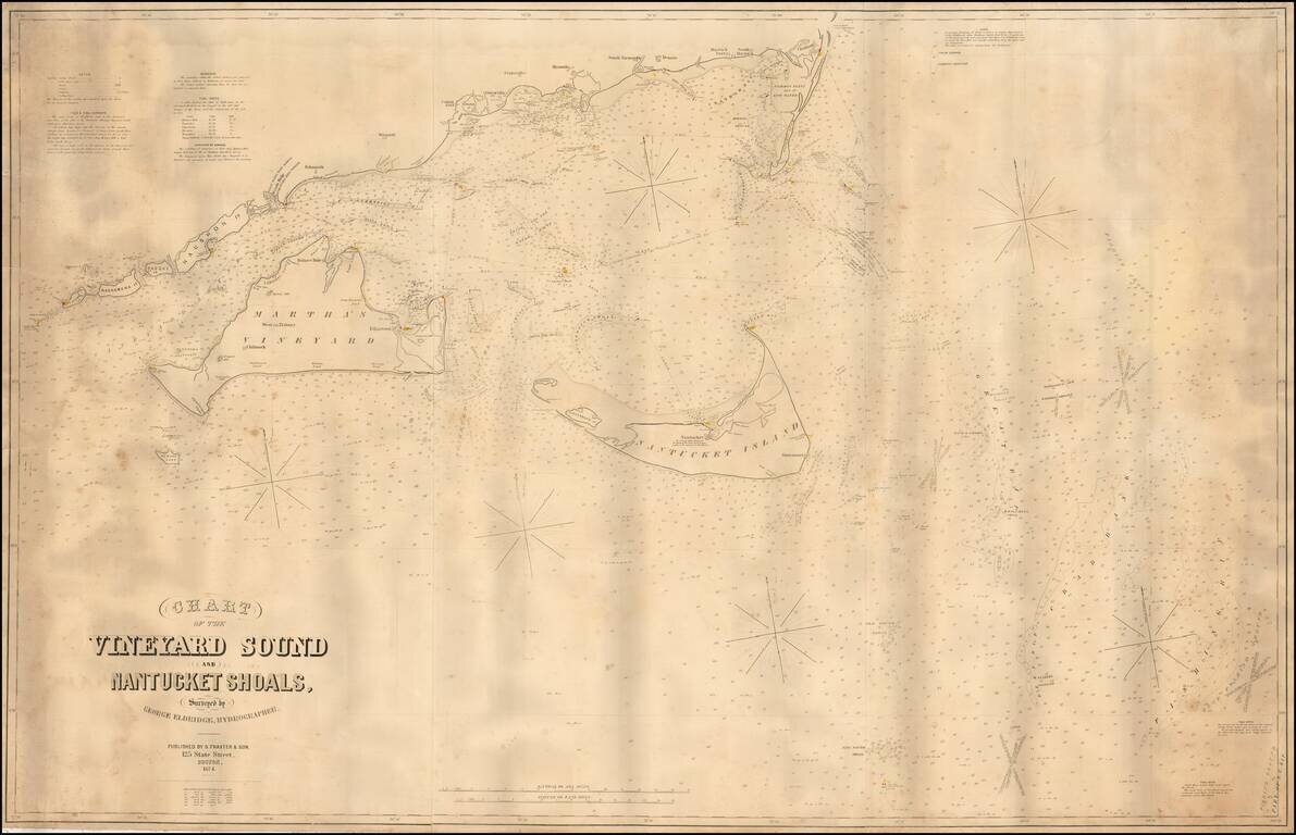
Fine large format sea chart of the waters around Martha's Vineyard and Nantucket, by George Eldridge, the leading private American chartmaker of the era. This mammoth chart depicts, in detail, the waters around the Elizabeth Islands, Martha's...