Map size in jpg-format: 28.0729MiB
Click to open in high resolution (open in new tab).
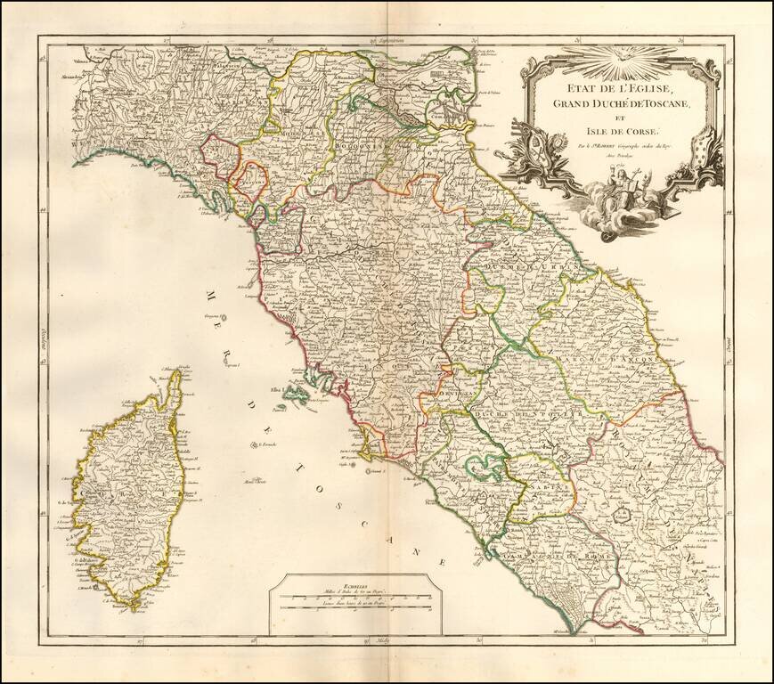
Interesting regional map of Central Italy, Tuscany and Corsica, from an early edition of DeVaugondy's Atlas Universel.
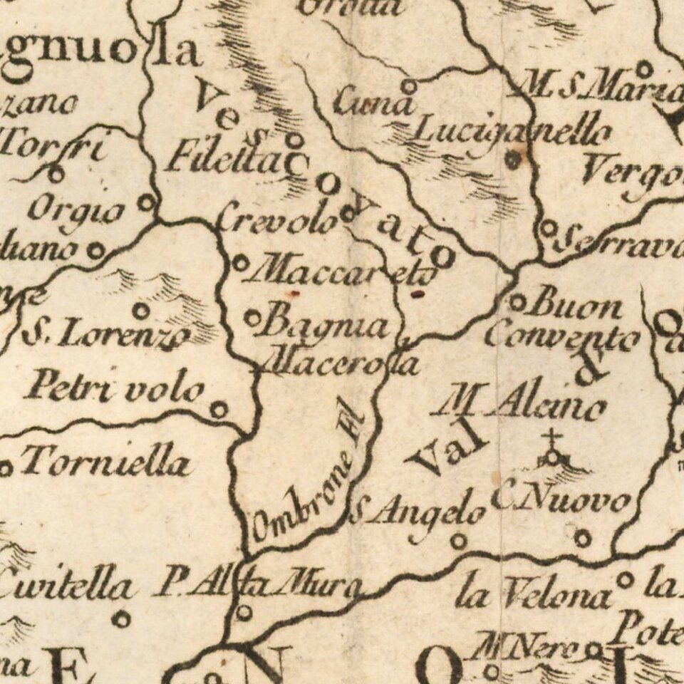
Includes towns, mountains, rivers, lakes and a host of other details.
De Vaugondy's Atlas Universel was one of the most successful and enduring works of the 2nd half of the 19th Century.
If you are a student, write to us in telegram: @antiquemaps and indicate what material you need and for what work you need a map in high detail. We are ready to provide material on special terms. For students only!


