Map size in jpg-format: 2655350B
Click to open in high resolution (open in new tab).

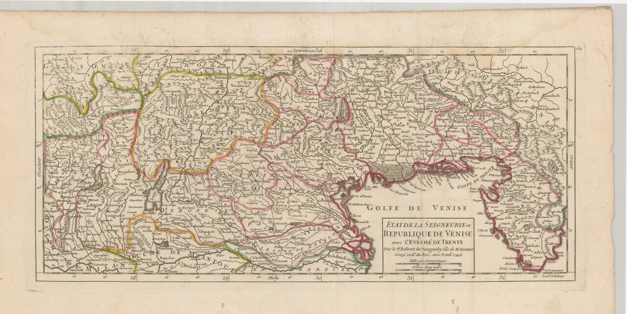
Striking example of De Vaugondy's map of the northeast part of Italy and neighboring Balkan regions, from his Atlas Portatif, Universel et Militaire. . . , first published in Paris in 1748.
The map extends from Bergamo and Milan in the west to Carniola and Istria, centered on Venice.
Didier Robert de Vaugondy (ca. 1723-1786) was the son of prominent geographer Gilles Robert de Vaugondy and Didier carried on his father’s impressive work. Together, they published their best-known work, the Atlas Universel (1757). The atlas took fifteen years to create and was released in a folio and ¾ folio edition; both are rare and highly sought-after today. Together and individually, father and son were known for their exactitude and depth of research.
Like his father, Didier served as geographer to King Louis XV. He was especially recognized for his skills in globe making; for example, a pair of his globes made for the Marquise de Pompadour are today in the collection of the Municipal Museum of Chartres. Didier was also the geographer to the Duke of Lorraine. In 1773, he was appointed royal censor in charge of monitoring the information published in geography texts, navigational tracts, and travel accounts.
If you are a student, write to us in telegram: @antiquemaps and indicate what material you need and for what work you need a map in high detail. We are ready to provide material on special terms. For students only!


