Map size in jpg-format: 780714B
Click to open in high resolution (open in new tab).
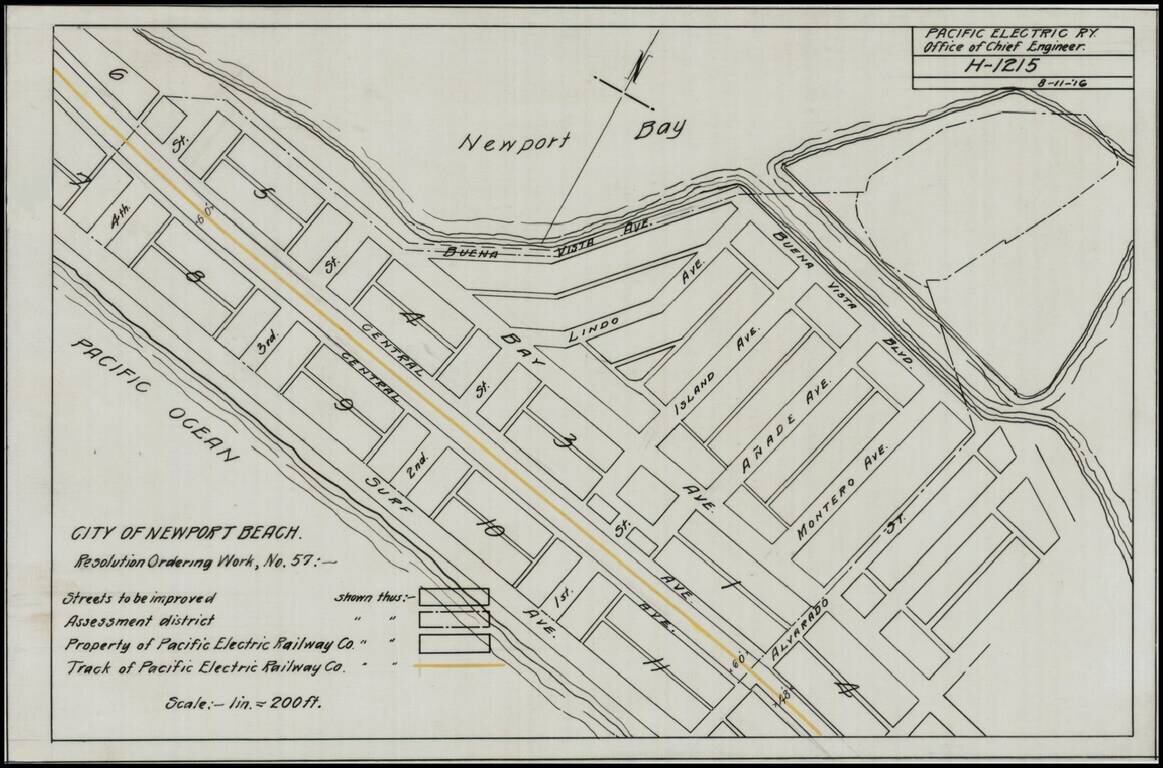
Detailed map of a portion of Newport Beach, bounded by Surf Avenue, Buena Vista Avenue, 4th Street and Alvarado Street.
Shows the tracks of the Pacific Electric Railway and other details.
If you are a student, write to us in telegram: @antiquemaps and indicate what material you need and for what work you need a map in high detail. We are ready to provide material on special terms. For students only!


