logo

1870. City Map of Adrian Published by Everts & Stewart. Drawn and Compiled By Frank Krause, C.E. Ann Arbor, Mich.

  • City Map of Adrian Published by Everts & Stewart.  Drawn and Compiled By Frank Krause, C.E.  Ann Arbor, Mich.

City Map of Adrian Published by Everts & Stewart. Drawn and Compiled By Frank Krause, C.E. Ann Arbor, Mich. information:

Year of creation: 
Resolution size (pixels): 
 7567x5584 px
Disk Size: 
 6.7739MiB
Number of pages: 
 1
Place: 
 Philadelphia
Author: 

Print information. Print size (Width x height in inches):
Printing at 72 dpi 
  105.1 х 77.56
Printing at 150 dpi 
 50.45 х 37.23
Printing at 300 dpi 
 25.22 х 18.61

An example of detailing the file of this map of in a printable high-resolution:

Click to open in high resolution (open in new tab).
Attention! this is just the central piece (central area 960x960 px) of the map file!
This is an example, so that you can see and study the level of detail of a given map. The entire Map will be fully available after payment!

City Map of Adrian Published by Everts & Stewart.  Drawn and Compiled By Frank Krause, C.E.  Ann Arbor, Mich.

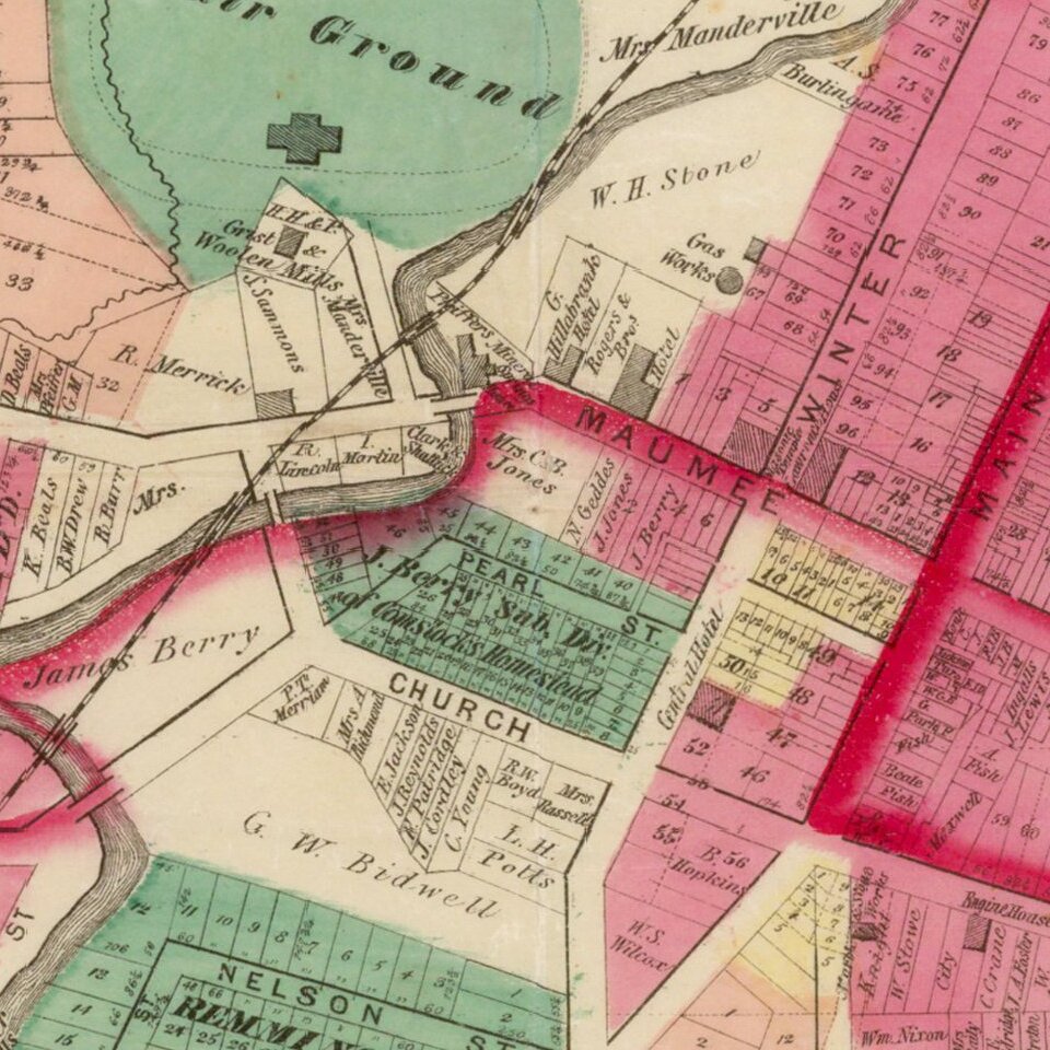
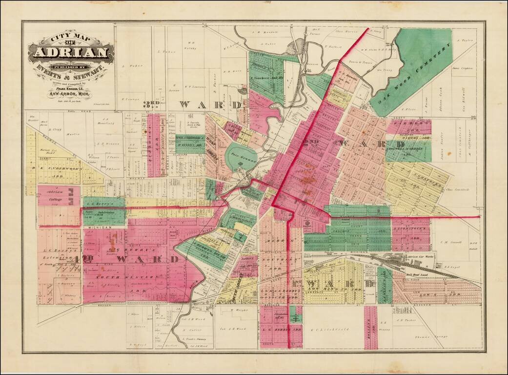
Detailed cadastral map of Adrian Michigan.

The map shows wards, subdivisions, railroads, streets, etc.


Special conditions for students!

If you are a student, write to us in telegram: @antiquemaps and indicate what material you need and for what work you need a map in high detail. We are ready to provide material on special terms. For students only!

Item information:

Year of creation:
Size:
7567x5584 px
Disk:
6.7739MiB
Number of pages:
1
Place:
Philadelphia
Author:
Everts & Stewart.
$14.99

Related item