Map size in jpg-format: 1.99549MiB
Click to open in high resolution (open in new tab).

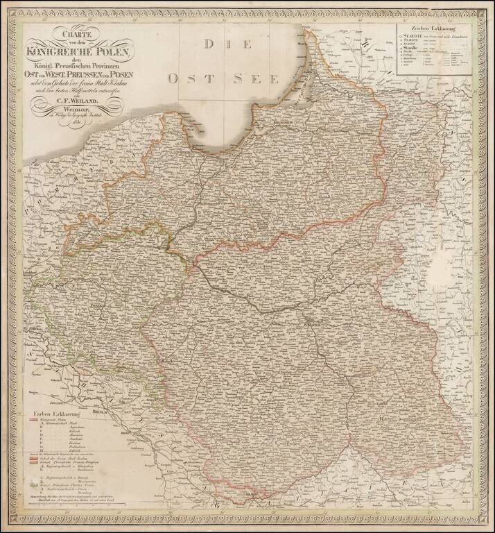
Scarce map of Poland and East and West Prussia, published by Weiland.
The map includes the Free State of Cracow.
If you are a student, write to us in telegram: @antiquemaps and indicate what material you need and for what work you need a map in high detail. We are ready to provide material on special terms. For students only!


![[Hand Drawn Prussian Military Encampment at Opole, Poland] Special Grund-Riss Des Kaeyserl Feldl Lagers bey Oppeln in Ober Schlesien](/map/small/59726.jpg)