Map size in jpg-format: 32.5635MiB
Click to open in high resolution (open in new tab).
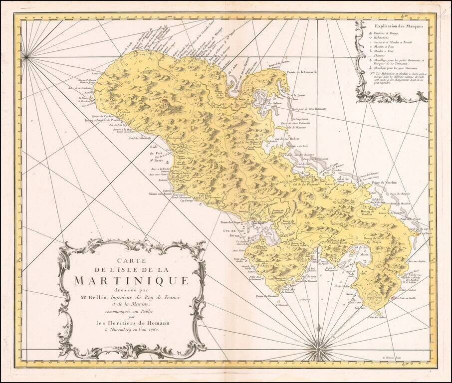
Decorative map of Martinique, published by the Homan Heirs in Paris.
A highly detailed map of Martinique, based upon an earlier chart published by Nicholas Bellin in Paris.
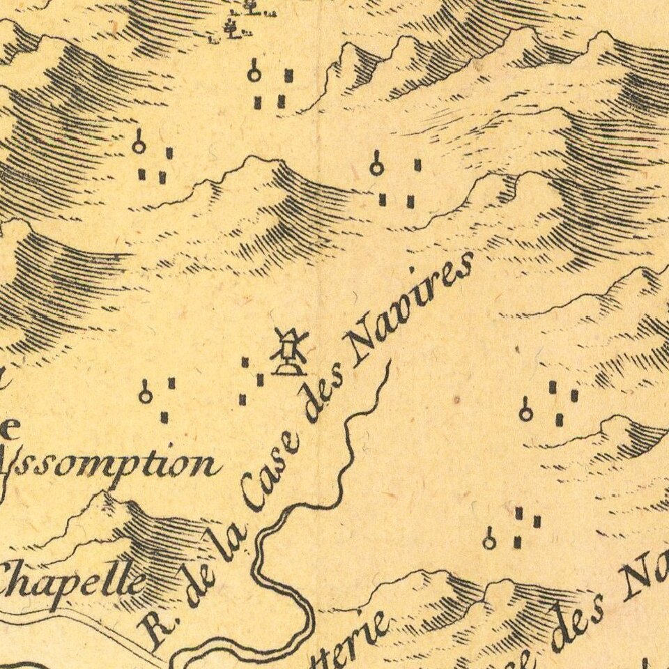
Depicted in the form of a sea chart with rhumb lines, the chart shows anchorage points around the island, forts, depth soundings in the major harbors, etc..
A key provides the locations of sugar refineries, wells and parishes.
Published shortly after the conclusion of the Seven Years War, the island was of tremendous economic value, being France's most important Caribbean sugar colony. Martinique had been seized by the British in 1759 and later returned to France in 1764, in token exchange, with Britain retaining Canada in the treaty which resolved the Seven Years War.
Homann Heirs was a German publishing firm that enjoyed a major place in the European map market throughout the eighteenth century. Founded in 1702 by Johann Baptist Homann, the business passed to his son, Christoph, upon Johann’s death in 1724. Christoph died in 1730, aged only 27, and the firm was inherited by subsequent Homann heirs. This altered the name of the company, which was known as Homann Erben, or Homann heirs. The firm continued in business until 1848.
If you are a student, write to us in telegram: @antiquemaps and indicate what material you need and for what work you need a map in high detail. We are ready to provide material on special terms. For students only!